Suffolk Coast Path - Lowestoft to Southwold Beach Route
|
Wednesday 23 February 2022
|
No comments |
![]()
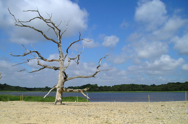
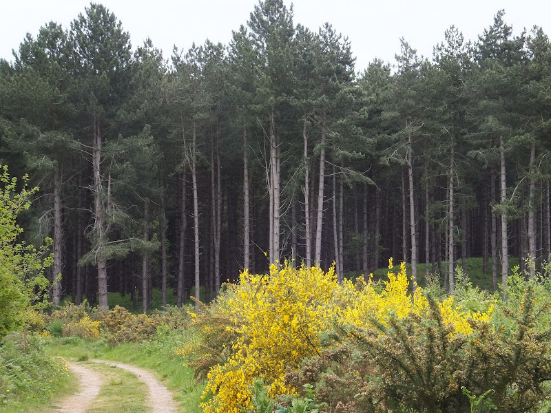
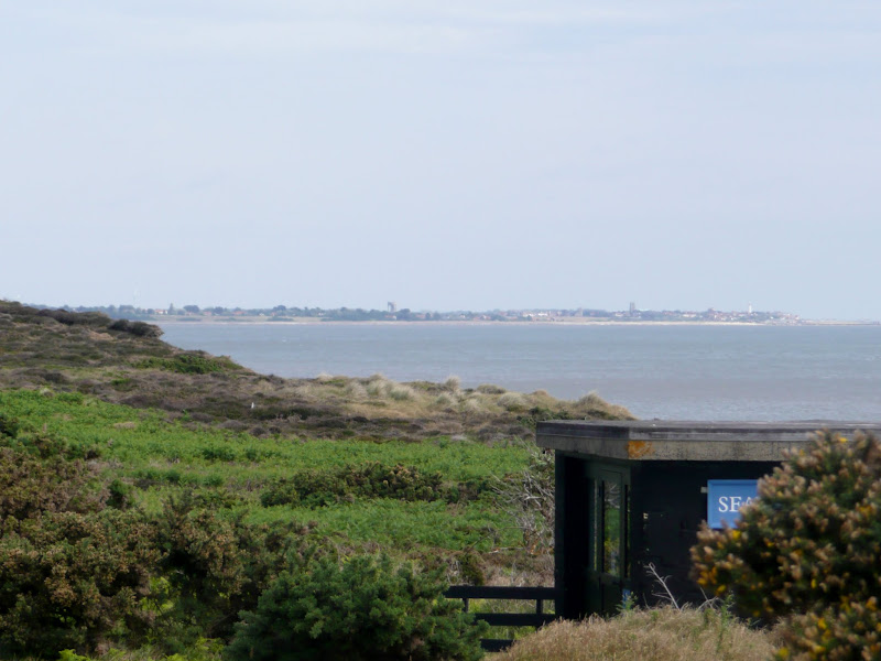
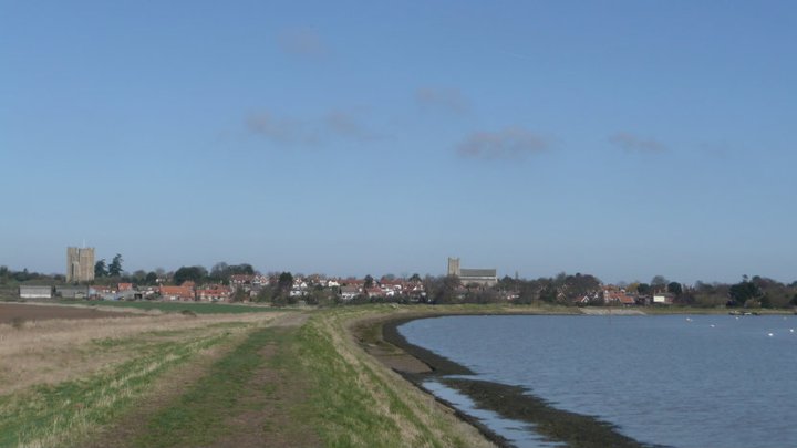
Lowestoft to Southwold Beach Route
An exhilarating 12 mile coastal walk along the Suffolk Coast.
|
Wednesday 23 February 2022
|
No comments |
![]()
An exhilarating 12 mile coastal walk along the Suffolk Coast.
|
Tuesday 4 May 2021
|
No comments |
![]()
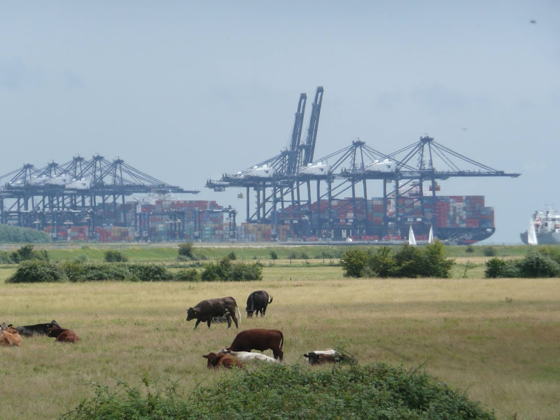
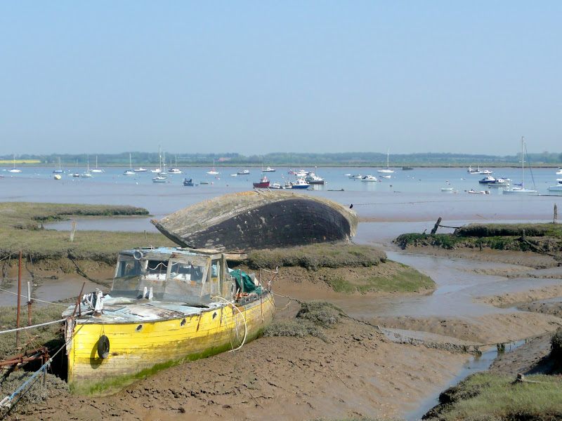
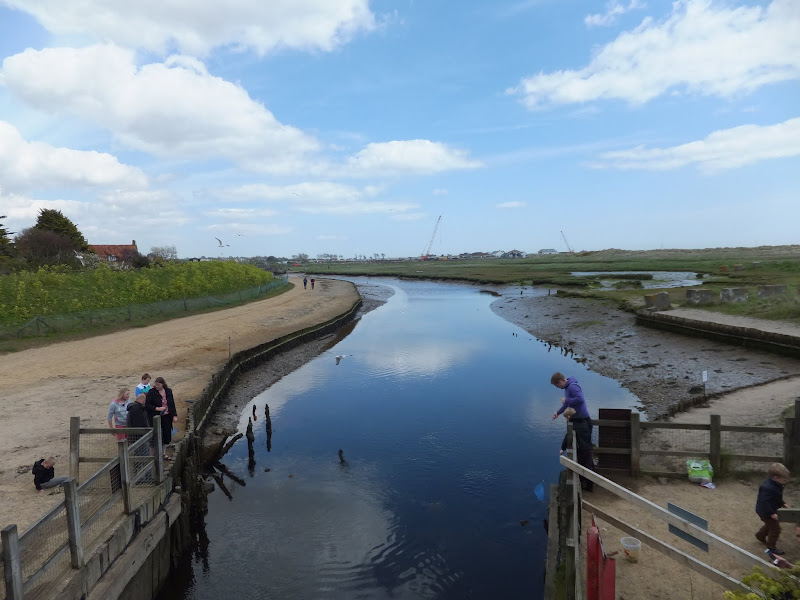
A 14 mile walk along the banks of the River Orwell in Suffolk between Ipswich and Shotley Gate
The Stour and Orwell path is an extension to the southern end of the Suffolk Coast Path and follows the coast and heaths along the estuaries of the Orwell and the Stour rivers. This particular walk focuses on the section between Ipswich and Shotley Gate following the river Orwell along the Shotley peninsular.
|
Wednesday 15 January 2020
|
1 comment |
![]()
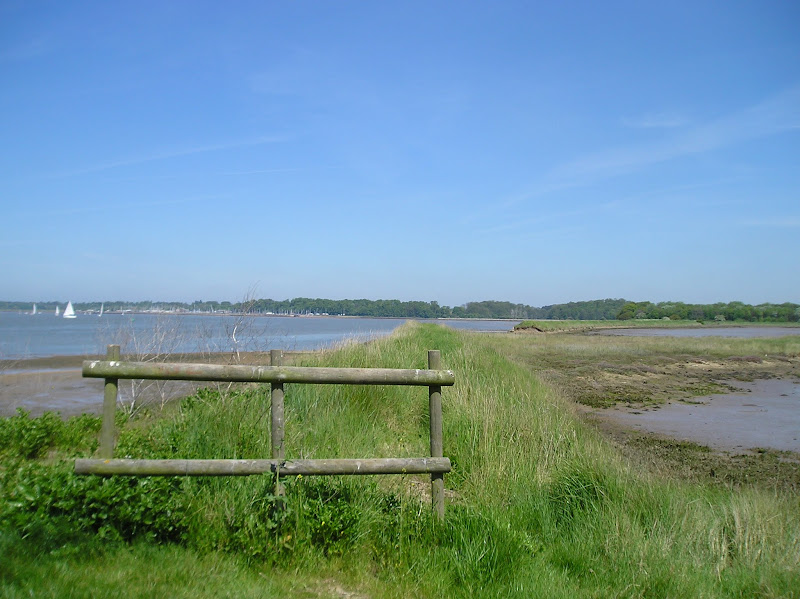
A 17 mile walk along the banks of the Orwell River in Suffolk starting at Felixstowe and ending in the centre of Ipswich
The Stour and Orwell path is an extension to the southern end of the Suffolk Coast Path and follows the coast along the estuaries of the Orwell and the Stour. The start of the walk is characterised by the earthen river defences along which the footpath navigates. From Levington Creek an alternative route is used to pay a visit to the 13th century Ship Inn before proceeding through Broke Hall Woods to rejoin the official route through to Ipswich.
|
Tuesday 7 January 2020
|
No comments |
![]()
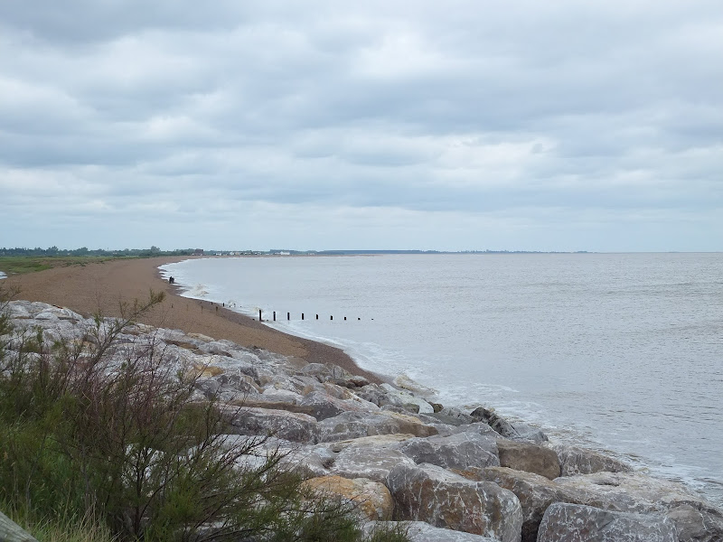
A circular walk between Leiston and Dunwich
This walk uses the beach and the Sandlings Path to provide a days walk to Dunwich from Leiston via Sizewell. One should time this walk such that the beach is walked a couple of hours either side of low tide when there is a little sand to walk along. At other times the beach is predominantly shingle and the walker may find it easier to follow the Suffolk Coast Path which is waymarked from the north side of Minsmere where it continues up onto the cliffs.
|
Monday 23 December 2019
|
No comments |
![]()

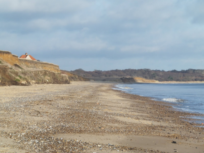
A circular walk from Sizewell to Aldeburgh along the Suffolk Coast Path
The Suffolk Coast Path does not go into Aldeburgh but it is a simple excursion to continue along the beach all the way down to the unique clover leafed Martello Tower at the vanished village of Slaughden using the old railway track to make a circular walk.
|
Thursday 28 November 2019
|
4 comments |
![]()
An easy 7 mile circular walk through the woodland around Sizewell on the Suffolk Coast
Suffolk is not best known for its hills and Kenton Hill and Goose Hill probably would not be regarded as hills but for their name. However this wooded area offers an ever changing scenery throughout the year with the mixture of conifer and broad leafed trees, flora and fauna and a variety of wildlife. There is also a viewing platform overlooking the Minsmere marshes
|
Monday 21 January 2019
|
1 comment |
![]()
A 13 mile walk along the River Deben in Suffolk, starting at Felixstowe and ending in Martlesham
The lovely walk along the Deben estuary. Although parts are inaccessible due to breaches of the flood banks, the mix of riverside paths, country lanes and footpaths provides an ideal mix of landscapes to keep any walker fascinated. The May bush pub offers a perfect place to take a rest and refreshment, its riverside location unbeatable.
|
Monday 7 January 2019
|
No comments |
![]()
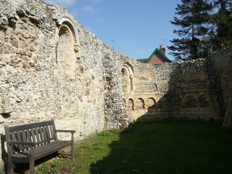
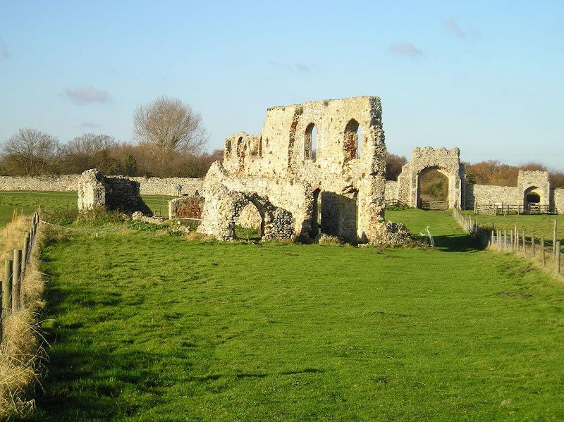
A 14.25 mile circular walk between Leiston to Dunwich
A simple walk using the Suffolk Coast Path from Sizewell to Dunwich with a visit to the ruins of the 12th century Leper Chapel. The return uses the the footpath via Mount Pleasant to get onto the Sandlings Path across Dunwich Heath to return back to Leiston.
|
Wednesday 2 January 2019
|
3 comments |
![]()
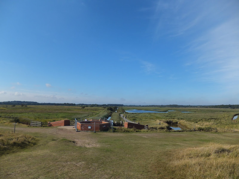
A 10 mile circular walk through the Suffolk Coastal Area of Outstanding Natural Beauty taking in Sizewell and the Minsmere Bird Reserve
One does not have to have an enthusiasm for ornithology to enjoy this walk. The natural surroundings of marshland and heathland are enough to inspire everyone and there is a lot of associated history along this route which dates back to the 12th century when Leiston Abbey once occupied an island in the marshes. Note that charges apply to the Minsmere section.
|
|
2 comments |
![]()
A 24 mile circular walk between Sizewell and Southwold along the Suffolk Coast Path and Sandlings Walk.
Back in the 17th Century, Southwold was England's main fleet anchorage. Sole Bay (Sawolde Bay) was a bay centred on Southwold with Easton Ness to the North and Dunwich to the South. In May 1672 this bay was the scene of a fierce sea battle when a fleet of 75 Dutch ships took an Anglo-French fleet by surprise. There were heavy losses on both sides in this, the first naval battle of the third Anglo Dutch War, but luckily for the English fleet the wind turned to their favour resulting in their success in the battle. Today coastal erosion has straightened the coastline of the former bay and all that remains of the battle are the stories and the cannons pointing out to sea on Gun Hill.
|
Tuesday 1 January 2019
|
No comments |
![]()
A 22 mile circular walk between Leiston and Walberswick incorporating sections of the Suffolk Coast Path and Sandlings Walk.
This walk uses the beach at low tide to get from Sizewell to Walberswick, returning through Dunwich forest. Walberswick is said to be the most haunted place in Britain though one would not think it from its relaxed and laid back character, famous for its crabbing pastimes.
|
Sunday 30 December 2018
|
No comments |
![]()

A 17 mile walk using the official inland route of the Suffolk Coast Path from Lowestoft to Southwold
Due to erosion and tides the Suffolk Coast Path takes an inland diversion for the section between Lowestoft and Southwold. Although the alternative beach route can be accessed providing the tides are right, this route nonetheless has its worth especially for the picturesque section around Frostenden.
|
Saturday 29 December 2018
|
No comments |
![]()

A 6.5 mile Suffolk circular walk along the banks of the Ore and Butley rivers between Orford and the Butley Ferry river crossing at Gedgrave.
The Suffolk Coast Path Orford Loop has two routes back onto the main trail, the first returns from Orford up to Chillesford but an alternative is to follow the lane from Orford to Gedrgrave and down to Butley Ferry. Although this crossing only operates from April to October, a pleasant and easy circular walk can be made from Orford returning along the top of the river defences.
|
Saturday 15 December 2018
|
No comments |
![]()
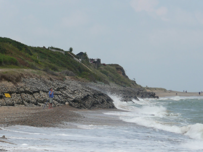
A 20 mile walk along the Suffolk Coast Path between Snape and Felixstowe
This is the most remote section of the Suffolk Coast Path and follows the Butley River down to Shingle Street and then continues along the coast to the ferry at Bawdsey. There is an eerie sense of foreboding when walking this section. The solitude. The windswept landscape. The distant silhouettes of the Orfordness Pagodas. The lonely river. One can walk virtually the entire distance without seeing a soul and the only company is the decaying remains of WWII defences and the looming martello towers from Napoleonic times.
|
Friday 14 December 2018
|
5 comments |
![]()
An 11 mile circular walk along the Suffolk Coast Path between Southwold and Covehithe
A walk along the beach route of the Suffolk Coast Path to the tiny hamlet of Covehithe with its impressive ruins of St Andrews church. Return is along the inland route of the Coast Path. This walk is dependant upon tides and consultation of tide times is vital in order to negotiate the beach route.
|
Thursday 13 December 2018
|
No comments |
![]()

An 5.5 mile circular walk around Southwold
This walk navigates from Southwold Harbour around the northern part of the Blyth estuary known as Buss Creek, returning via the seafront to the harbour. One cannot miss out on a wander around the pier to take in the amazing sights of the quirky The Under the Pier show, the creation of Tim Hunkin and typical British eccentricity at its best.
|
Wednesday 5 December 2018
|
No comments |
![]()
A 16 mile walk around the Orford Loop section of the Suffolk Coast Path
The main Suffolk Coast Path cuts through Tunstall Forest from Iken Cliff to Chillesford. However, more recently, a path has been added which allows access to Orford by following the Alde estuary. This then cuts back across Gedgrave marshes and Sudbourne Hall to return to the main path at Chillesford.
|
Tuesday 4 December 2018
|
No comments |
![]()
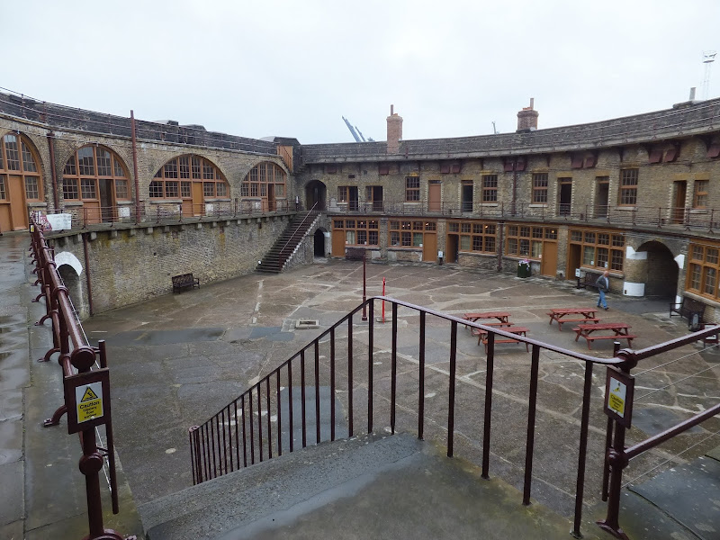
A 10 mile walk from Trimley to Languard Fort via Felixstowe Ferry
This walk navigates from the village of Trimley down to Kings Fleet and along the banks of the River Deben to Felixstowe Ferry, the setting of an old Black Shuck tale from many years ago which is a feature to this walk. A coastal walk follows, along the seafront of Felixstowe through to the where the River Orwell meets the sea, a strategic point of defence against attacking enemies attempting to sail up the estuary. Key to that defence is Languard Fort which has stood here for many centuries and has played key parts in the world wars of the 20th centuries. A fascinating place to visit with a certain eeriness within its confines.
|
Wednesday 14 November 2018
|
3 comments |
![]()

A 14 mile coastal walk between Gorleston and Kessingland crossing the border from Norfolk to Suffolk
This mighty fine walk takes the avid rambler to the most easterly point of the British Isles, Ness Point that is located in front of Lowestoft. The point is marked with a large circular ground compass with distances and direction to well known landmarks around the globe. The route uses cliff top paths, proms and beaches and makes for a great days walking.
|
Tuesday 1 January 2013
|
1 comment |
![]()
A circular walk from Sizewell to Thorpeness along the Suffolk Coast Path
In recent years the Suffolk Coast Path has been rerouted in-land from Sizewell across the commons to Thorpeness due to coastal erosion. The old coast route can still be walked when the tide is right and there is always an escape up the cliffs to Thorpeness Common just before the Thorpeness cliffs where the tide cuts off access to the beach.
A 10 mile walk following the southern side of the parish boundary of Leiston in Suffolk This walk follows the route of a 17th century peramb...


