The Peddars Way - Knetishall Heath to Watton
|
Thursday 24 February 2022
|
1 comment |
![]()

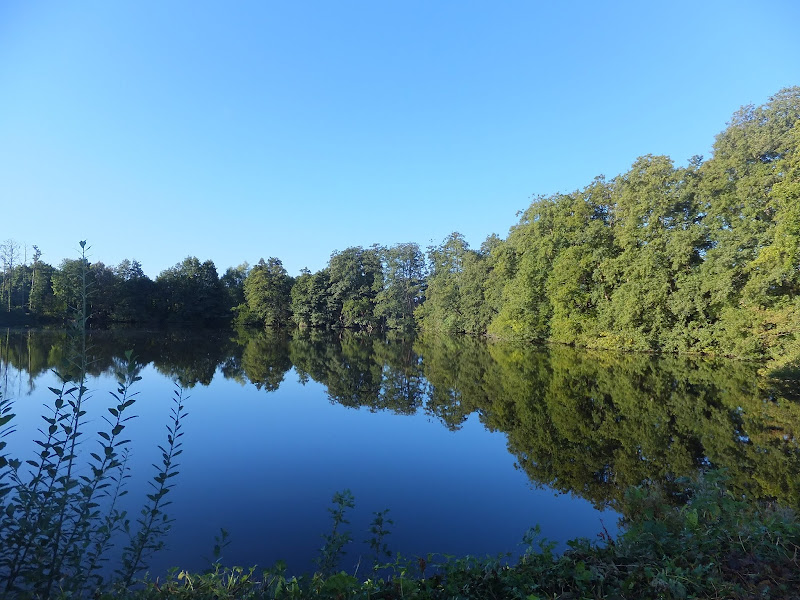
Knetishall Heath to Watton
An easy trek across Breckland on the initial stages of the Peddars Way.
|
Thursday 24 February 2022
|
1 comment |
![]()
An easy trek across Breckland on the initial stages of the Peddars Way.
|
Wednesday 23 February 2022
|
3 comments |
![]()

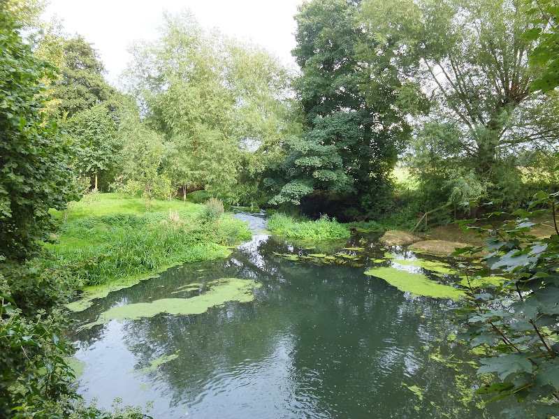
A trek from Thetford to the start of the Peddars Way
|
Monday 14 February 2022
|
No comments |
![]()

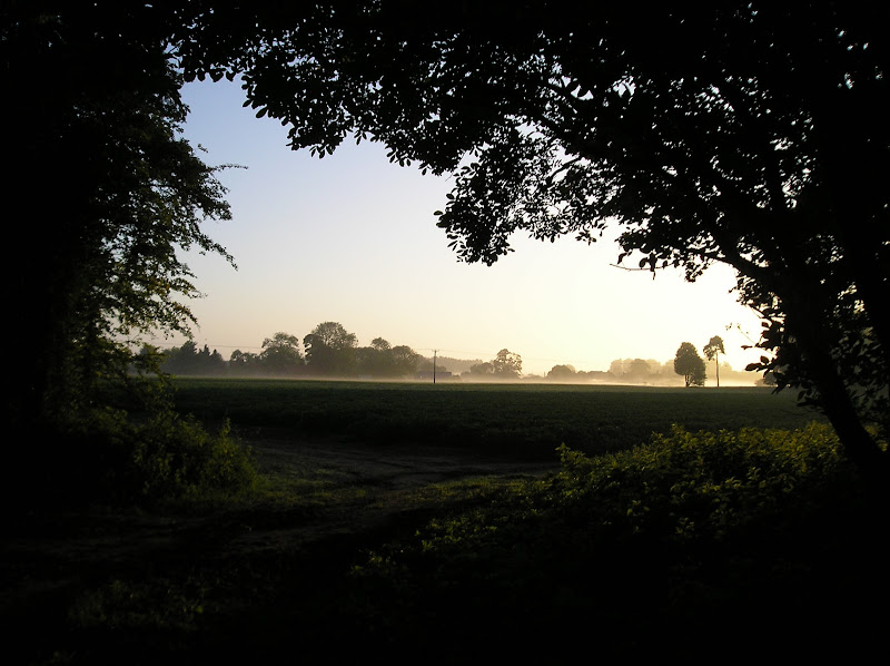
A day long pub crawl and ramble around the area of Bedfordshire that borders Northamptonshire
|
Sunday 23 February 2020
|
No comments |
![]()
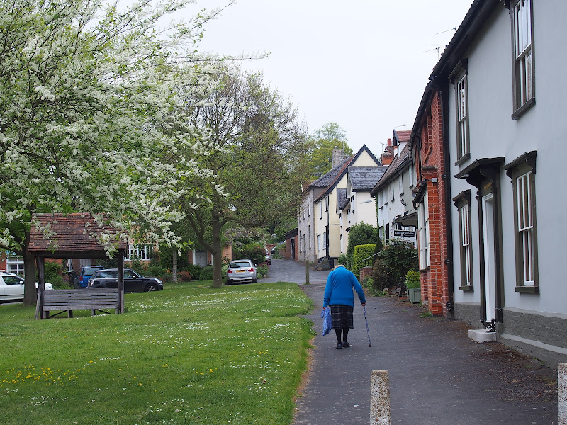
An 8.75 mile walk along the Angles Way from Wortwell to Earsham
It is not often that a country ramble coincides with a Brewery visit. On this route there are two, the historic St Peters brewery and the Waveney Brewing Company based at the Queens Head pub in Earsham. Although St Peters is a little off route a visit to this exquisite old building is thoroughly recommended. Also just off route is the village of Flixton where there is the remains of Flixton Priory and a church with a unique tower plus the setting for a spooky story.
|
Thursday 19 December 2019
|
No comments |
![]()
A 17 mile walk along the Angles Way from Diss to Harleston and onto Wortwell
There is plenty of history along this section of the Angles Way as it follows the course of the River Waveney. Numerous archaeological finds have been found along the route dating from prehistoric times through roman pottery and remnants of the middle ages. There are lost villages, halls and churches to provide ample opportunity for exploration as the path meanders across the Norfolk Suffolk border.
|
Thursday 17 January 2019
|
No comments |
![]()
A 25 mile walk along the Icknield Way between Herringswell and Knetishall Heath
This section of the Icknield Way reveals just how remote some areas of Suffolk can be. Apart from a couple of isolated hamlets there is nothing but forest trails and fields for the full 25 miles through to Knettishall Heath. This is perfect for those who like the solitude but one does need to make sure ample food and water supplies are taken for this lengthy hike.
|
Tuesday 8 January 2019
|
No comments |
![]()

A 15 mile walk from the Breckland end of the Angles Way to Diss
This is a picturesque ramble through the numerous fens that follow the course of the Little Ouse and The Waveney Rivers. Thelnetham Fen, Hinderclay Fen, and Redgrave and Lopham Fen are all managed wetlands with well kept paths and a variety of flora, fauna and wildlife. The path also passes through Wortham Ling, an area of managed common land that dates from medieval times. Even though the start of the walk at Knettishall Heath is difficult to get to using public transport, the walk is well worth the effort.
|
Tuesday 20 March 2018
|
No comments |
![]()
A 10 mile walk around the Suffolk villages of Eye and Hoxne
Hoxne is said to be where St Edmund was Martyred by the Viking invaders in the 9th century. The village is full of reminders of the gruesome event including the cross which marks the place of the oak tree his assailants tied him to, beat him, fired arrows at and eventually beheaded and the bridge he reputedly hid trying to escape his captors.
A 10 mile walk following the southern side of the parish boundary of Leiston in Suffolk This walk follows the route of a 17th century peramb...


