Route details, maps, pubs, features, local history and folklore for a wide variety of walks focusing primarily on Norfolk and Suffolk

OSmap:210 Walks
Showing posts with label OSmap:210. Show all posts

Thursday 17 January 2019

The Icknield Way - Herringswell to Knetishall Heath

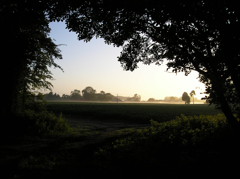
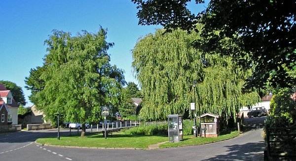
A 25 mile walk along the Icknield Way between Herringswell and Knetishall Heath

This section of the Icknield Way reveals just how remote some areas of Suffolk can be. Apart from a couple of isolated hamlets there is nothing but forest trails and fields for the full 25 miles through to Knettishall Heath. This is perfect for those who like the solitude but one does need to make sure ample food and water supplies are taken for this lengthy hike.

Sunday 30 December 2018

The Icknield Way - Linton to Herringswell

A 26 mile walk along the Icknield Way between Linton and Herringswell

This section of the Icknield Way passes through some idyllic and typical English landscapes where village greens, thatched cottages and traditional country pubs nestle in with babbling brooks and the gently swaying fields of barley that cover the rolling hills. It is a sheer pleasure to wander through. The only issue with this walk is the lack of accommodation unless one makes diversions away from the trail.

Walk Summaries

Latest walk summaries are basic information sheets for walks that have yet to be fully documented. These provide links to maps, public transport and walks stats, although detailed notes and features are not included.

Latest Walk Summaries

Featured Walk

In Search of Sizewell Chapel

A 10 mile walk following the southern side of the parish boundary of Leiston in Suffolk This walk follows the route of a 17th century peramb...

What is GPX

All you need to know about GPX, electronic mapping and how to use modern apps and mobile devices as navigation devices

Popular Walks

Maps