An Amazing Adventure to Westleton Barrel Fair 2012
|
Monday 27 August 2012
|
No comments |
![]()
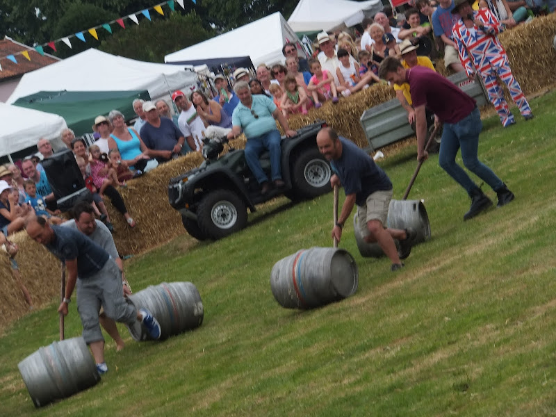
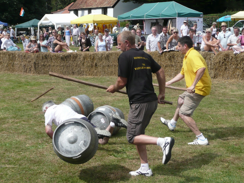
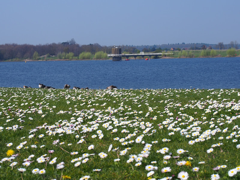
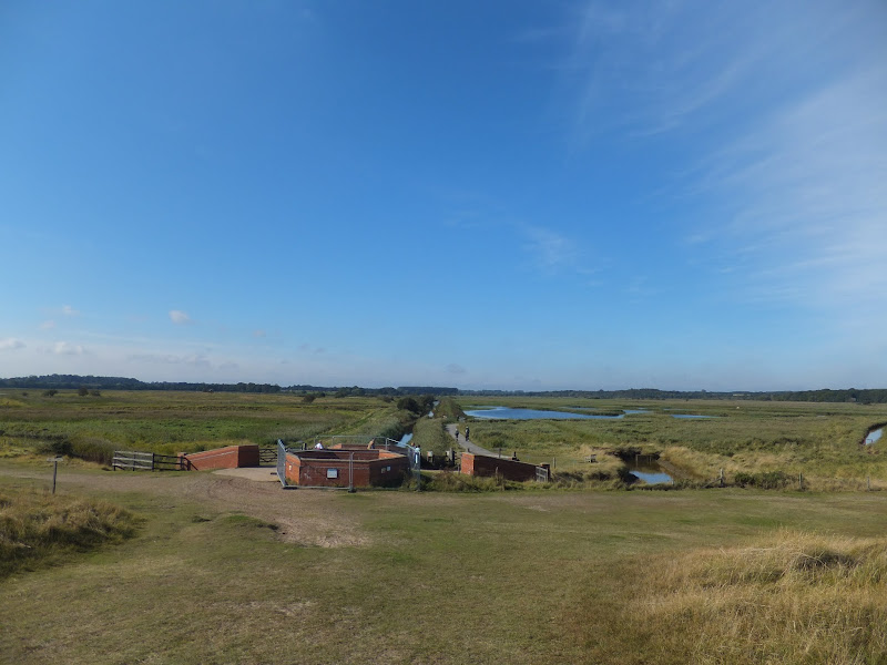
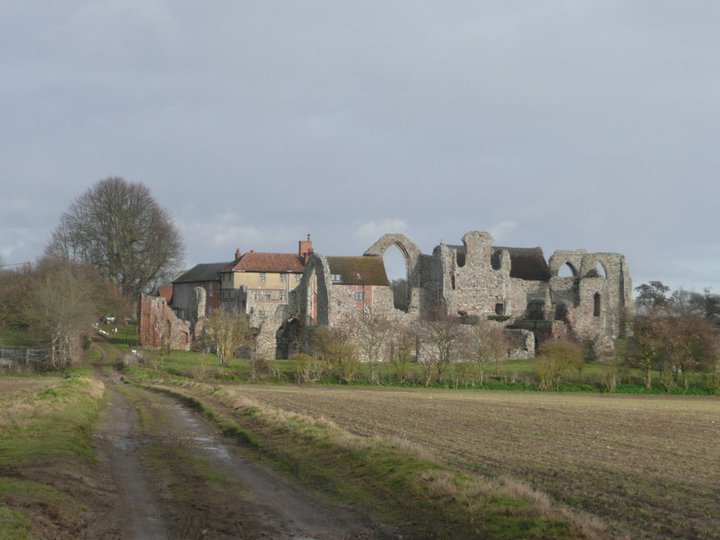
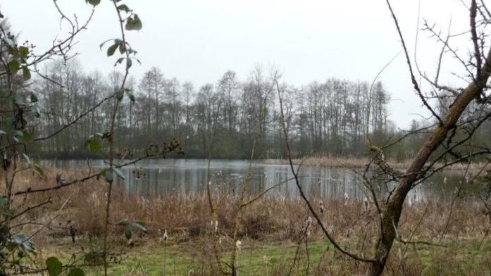
A simple 11 mile walk across the Suffolk heaths and woodland from Leiston to attend the annual Westleton Barrel Fair.
Despite a brief thunderstorm, a fantastic Summers day was had at the Westleton Barrel Fair 2012 living up to its expectations with all the usual fun and merriment. This years event featured music from Westleton's Doc Cox and Leiston's Random Blues Company, morris dancing from the Rumburgh Morris Dancers, outside bars from the White Horse and the Westleton Crown and, of course, the ever popular, chaotic, breath-taking and entertaining barrel races. This is a unique annual Suffolk event and well worth taking the time out to visit.