Route details, maps, pubs, features, local history and folklore for a wide variety of walks focusing primarily on Norfolk and Suffolk

Walks
Showing posts sorted by relevance for query Newquay. Sort by date Show all posts

Saturday 7 December 2019

South West Coast Path - Perranporth to Newquay

Tidal bridge across The Gannel Estuary

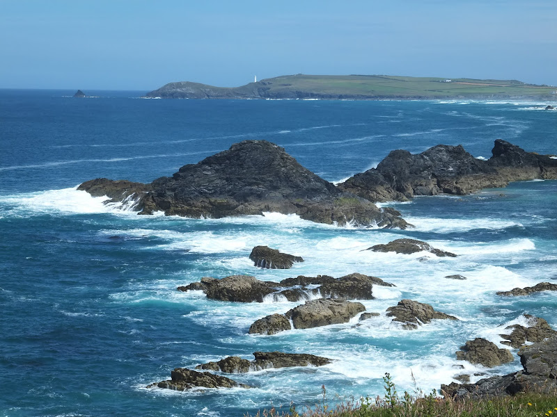
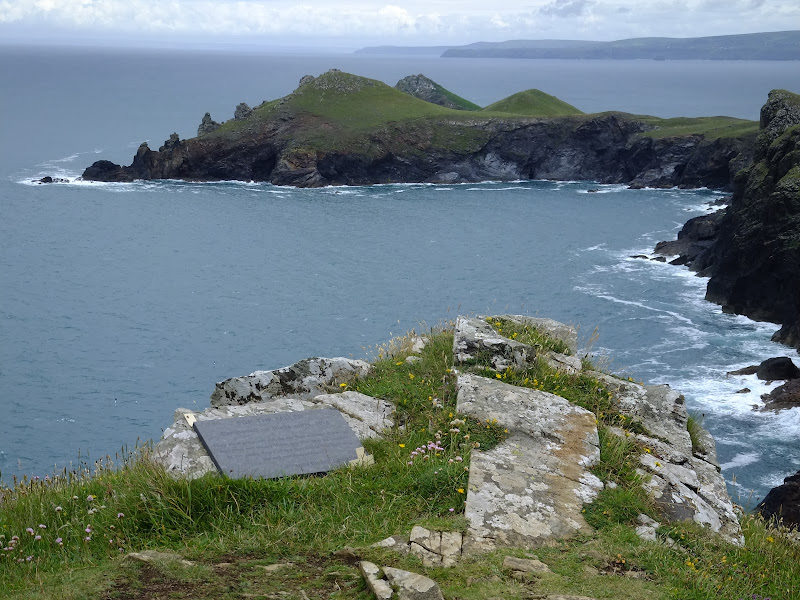
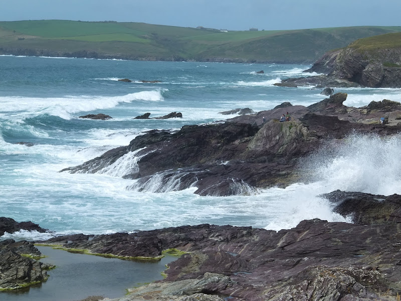
An 11 mile walk along the South West Coast Path between Perranporth and Newquay

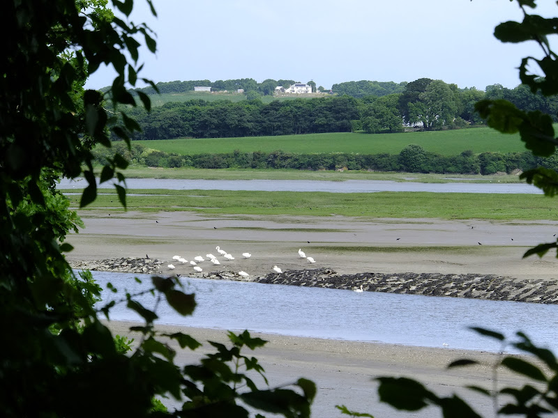
By South West Coast Path standards this is an easy walk along the low level cliffs with no particularly difficult climbs with the usual spectacular coastal views. The main obstacle on this section is crossing the River Gannel estuary. There are three footbridges but these are all dependant upon the state of the tide so tide tables need to be consulted and the walk planned appropriately.

Saturday 29 December 2018

South West Coast Path - Newquay to Porthcothan

Porthcothan Bay

An 10.5 mile walk along the South West Coast Path between Newquay and Porthcothan

This section of the South West Coast Path provides typical picture postcard images of Cornwall in its full glory over a terrain that is not too demanding for the average walker. With stories of Mermaids and Giants there is plenty of folklore and history to read up about. An outstanding section without a doubt.

Sunday 23 December 2018

South West Coast Path - Portreath to Perranporth

Towanroath Pumping Engine House

A 12 mile walk along the South West Coast Path between Portreath and Perranporth

A landscape scarred with the remains of centuries of mining is what typifies this section of the South West Coast Path. The remains of old engine houses, foreboding chimneys and numerous bat friendly shaft covers are encountered along the cliff top path. There is also the legend of the Giant Bolster in these parts, a giant said to be so tall that he could stand with his feet straddled across two local peaks six miles apart.

Wednesday 15 July 2020

The Camel Trail - Wadebridge to Padstow

Estuary view

The Camel Trail - Wadebridge to Padstow

A short section of The Camel Trail route that follows the former North Cornwall Railway trackbed. This doubles up as both a cyclepath and a walkway making it suitable to virtually anyone of average fitness. The scenery is glorious as the track winds its way along the Camel estuary.

Wednesday 22 July 2020

Polzeath to Pentire Point Circular Walk

Binyons plaque looking out to the Rumps

Short circular walk around the headland that fronts Pozeath

An awesome wander around Pentire Point from the village of Polzeath. This is a must for anyone who visits this classic piece of Cornish coastline. A few challenges but nothing that an average walker can muster

Tuesday 8 January 2019

South West Coast Path - Lands End to Mousehole

Enys Dodnan

An arduous but rewarding 13 mile walk along the South West Coast Path between Lands End and Mousehole

This is an arduous section of the coast path but is nonetheless worthwhile for its spectacular scenery and rugged landscape. There is little in the way of civilisation throughout the entire route but the views and amazing with the natural wonders of the Longships rocks, Gwennap Head, Logans Rock and so much more.

Sunday 19 July 2020

South West Coast Path - Rock To Polzeath

Rocks at Daymer Bay

Short walk from Rock ferry to Polzeath along the Camel Estuary

A short section of the South West Coast Path that can be undertaken either as part of a more extensive hike or merely as a return ramble from Polzeath and across to Padstow. Fairly easy by SWCP standards and stunning scenery as is always the case with this Cornish coastline, and whilst taking all of this in one can contemplate the legendary Doom Bar that sits in the waters of the estuary.

Friday 28 December 2018

South West Coast Path - Par to Mevagissey

Charlestown

A 10 mile alternative route for the South West Coast Path between Par and Mevagissey.

With the highlights of Charlestown and Mevagissey this walk holds a lot of expectation. When the weather turns against the avid walker and the conditions along the coast path become slippery and dangerous then this route provides an alternative. Always put safety first and during times of dense fog and or heavy rain always use a sense of caution when proceeding.

Wednesday 5 December 2018

South West Coast Path - Tintagel to Port Isaac

Jacket's Point

An 9 mile walk along the South West Coast Path between Tintagel and Port Isaac

Very much a demanding and challenging walk that is not for the casual walker. Despite the strenuous terrain, the scenery is magnificent and there is a true sense of achievement by the end of the hike that makes the pint of ale at the Port Gaverne Hotel even more rewarding. Oh, and beware of the ghosts of Backways Cove.

Saturday 7 December 2019

South West Coast Path - Port Isaac to Polzeath

Port Isaac Haven

An 9 mile walk along the South West Coast Path between Port Isaac and Polzeath

A stunning walk that is not too challenging. It starts at the picturesque village of Port Isaac before winding its way past Port Quin and around the Rumps headland and Pentire Point before descending to the surfing Mecca of Polzeath. The scenery takes ones breath away and every turn there is something new to see.

South West Coast Path - Porthcothan to Padstow

Hawkers Cove

An 13.5 mile walk along the South West Coast Path between Porthcothan and Padstow

A moderate walk by South West Coastpath standards and even with a misty morning it is nonetheless spectacular. The walk includes Harlyn Bay and Mother Iveys Cottage, which is the source of a local legend of a cursed field. The end is at the bustling port of Padstow where there is plenty of opportunity for rewarding refreshments.

Sunday 19 July 2020

St Enodoc's Church, Trebetherick

St Enodoc Church

Short walk to St Endocs Church, buried in the sands of the coastal area close to Polzeath

The church of St Endoc is located in the coastal area close to the coast path alongside the Camel estuary. The church was buried in the shifting sands for some 300 years, being unearthed in the 19th century. Whether walking the coast path or visiting this area, the church is well worth a visit

Walk Summaries

Latest walk summaries are basic information sheets for walks that have yet to be fully documented. These provide links to maps, public transport and walks stats, although detailed notes and features are not included.

Latest Walk Summaries

Featured Walk

In Search of Sizewell Chapel

A 10 mile walk following the southern side of the parish boundary of Leiston in Suffolk This walk follows the route of a 17th century peramb...

What is GPX

All you need to know about GPX, electronic mapping and how to use modern apps and mobile devices as navigation devices

Popular Walks

Maps