Route details, maps, pubs, features, local history and folklore for a wide variety of walks focusing primarily on Norfolk and Suffolk

Walks
Showing posts sorted by relevance for query Neatishead. Sort by date Show all posts

Saturday 29 December 2018

A Norfolk Broads Walk from Neatishead to Horning

Cormorants on Barton Broad

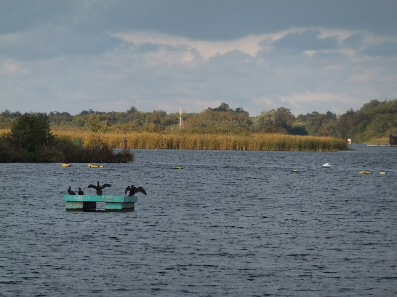
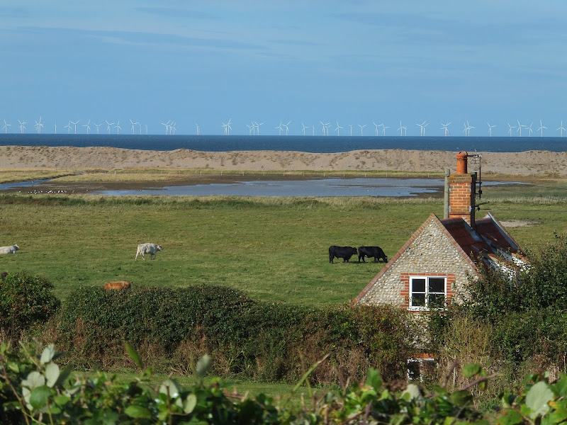
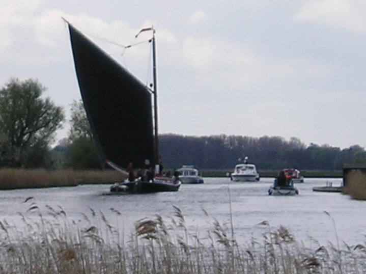
An easy 6 mile walk following the River Ant down to the Bure at Horning.

The Norfolk Broads are full of ghostly stories and this walk brings a few to life. From the spooky lights of Hoards Hole, encounters with Black Shuck and the curious transformation of Horning's riverside houses to Saxon days when it was just a grassy bank, there is plenty to reflect upon as one wanders the footpaths and quiet country lanes that make up this route. And maybe, who may tell, given the right conditions, you may even glimpse a spectral view from another dimension.

Saturday 15 December 2018

Lincolnshire Coast Path - Skegness to Gibraltar Point

Beach looking towards Gibraltar Point

A 7.5 mile beach walk from Skegness to Gibraltar Point

Gibraltar Point, with its Nature Reserve, Visitor Centre and Wash Study Centre can be accessed via a dedicated road from Skegness town centre. This walk attempts to access the Point by way of the beach. It is imperative that one heeds the tide times in order to walk this route, but those doing so will be treated to some outstanding beach views and the solitude that this deserted area brings with it.

Sunday 16 December 2018

Alternative Coast Path Route from Sheringham to Cley

View from the hillside between Salthouse and Cley

A 10 mile alternative route for the North Norfolk Coast Path between Sheringham and Cley

This walk takes diversions from the official route of the North Norfolk Coast Path via the North Norfolk Railway and the Weybourne Priory Ruins. A further alternative is then used to navigate away from the strenuous shingle walk along the coast to a more gentle amble up to the village of Salthouse and across the hills to Cley. This provides a scenic and interesting alternative to the official route of the North Norfolk Coast Path and gives some spectacular views across the marshes from the hillside between Salthouse and Cley.

Friday 1 February 2019

Weavers Way - Potter Heigham to Great Yarmouth

A wherry heads down the river Thurne

A 20 mile walk through the Norfolk Broads following the rivers Thurne and Bure from Potter Heigham to Great Yarmouth

A walk that follows the rivers Thurne and Bure down to the town on Acle. There is then some challenging navigation across Halvergate marshes to end up walking along the banks of Breydon Water into great Yarmouth. This really is the epitome of what everyone imagines of the Norfolk Broads. Broad open skies and large open flat landscapes.

Walk Summaries

Latest walk summaries are basic information sheets for walks that have yet to be fully documented. These provide links to maps, public transport and walks stats, although detailed notes and features are not included.

Latest Walk Summaries

Featured Walk

In Search of Sizewell Chapel

A 10 mile walk following the southern side of the parish boundary of Leiston in Suffolk This walk follows the route of a 17th century peramb...

What is GPX

All you need to know about GPX, electronic mapping and how to use modern apps and mobile devices as navigation devices

Popular Walks

Maps