Route details, maps, pubs, features, local history and folklore for a wide variety of walks focusing primarily on Norfolk and Suffolk

Walks
Showing posts sorted by relevance for query Morston. Sort by date Show all posts

Tuesday 27 November 2018

In Search of the myths and legends of Stiffkey

Freshes creek

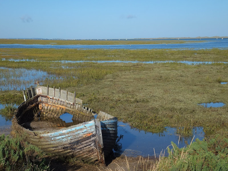
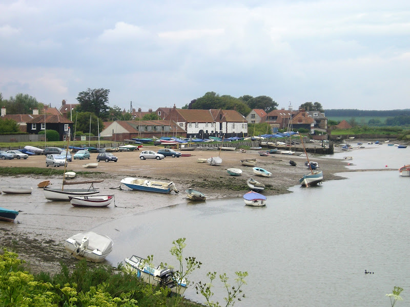
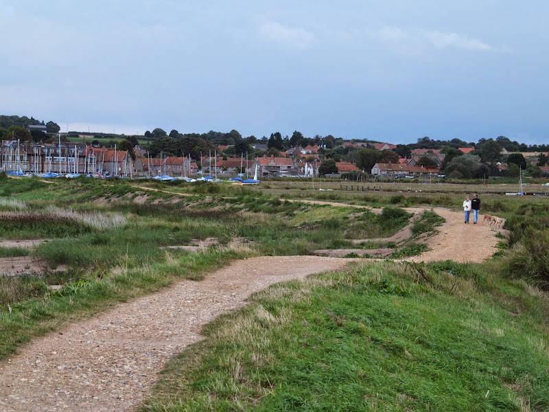
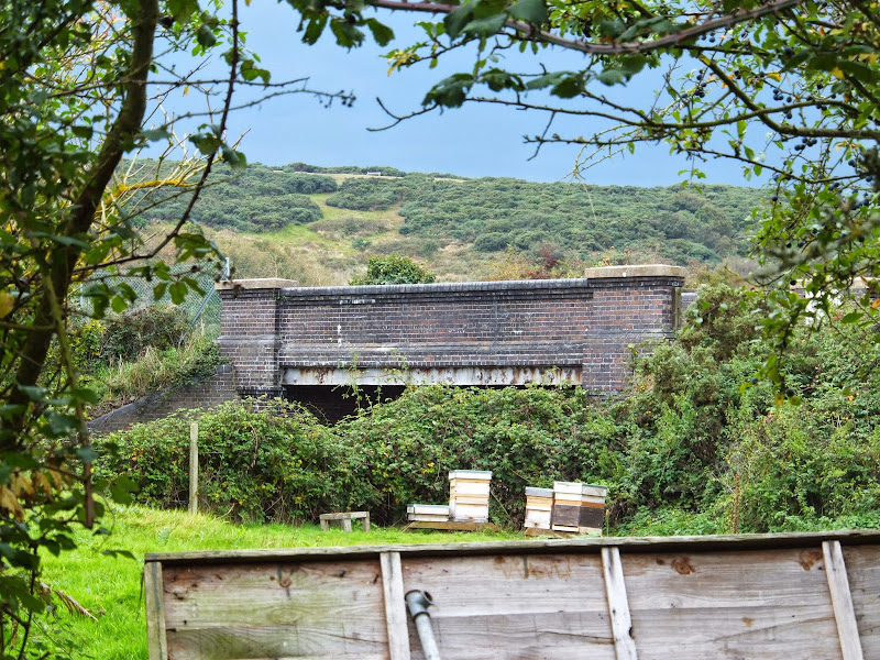
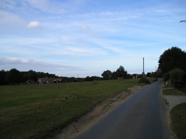
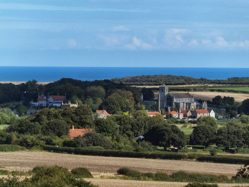
An 8.5 mile walk along a section of the Norfolk Coast Path between Wells-next-the-Sea and Morston, with a diversion through the village of Stiffkey.

Stiffkey (locally pronounced Stewkey) is referred to as Stivecai in the Domesday Book, which means "island of tree stumps". This is thought to relate to the remains of an ancient wooden structure dating back 8,000 years, that was found on the marsh. Today it is a sleepy little village on the North Norfolk Coast Road renowned for its topiary including a line of elephants all trunk to tail at Nellie's Cottage, a guitar sitting proudly atop a hedge at the home of a guitar teacher and a fox by the gate post of the Fox family's house. It does, nevertheless, have an intriguing recent history with stories of Black Shuck, the ghostly devil dog, and the tale of the infamous Reverend Harold Davidson, Rector of Stiffkey who was defrocked in a national scandal involving ladies of the night and ended up being mauled by a lion.

Saturday 26 January 2019

Norfolk Coast Path - Cley to Wells-next-the-Sea

Marshes near Blakeney

A 10 mile walk following the Norfolk Coast Path between Cley and Wells-next-the-Sea

An easy walk along the Norfolk Coast Path navigating out across the marshes to Blakeney then along the marsh perimeter to Wells. Blakeney is a worthy stopping point to explore Mariners Hill and the Guildhall and take in the legends of the Blakeney tunnels and the tragic story of the Blakeney Fiddler who is depicted on the village sign.

Sunday 23 October 2011

Completion of The Woodfordes Ale Trail 2011

The Woodfordes Ale Trail ended on 30th September and it was time to total up our stamps and collect our prizes. To recollect the rules, one has to visit Woodfordes outlets that are contained in their 2011 guide and on purchasing a pint of Woodfordes ale the publican will add an entry to the Trail Card with a unique stamp. There is only one stamp allowed for each venue and the trail only runs from June to the end of September. There is a different prize for collecting multiples of 10 stamps with the top prize being a polypin of ale for 60 stamps. In 2009 we managed to fill 2 Trail Cards and had started a third giving us a bounty of 2 polypins and a Nelsons Revenge t-shirt. This year we were not as successful due to being away from the area for a few weeks over the summer months. The end result was that we only completed half of the card. Nonetheless, this was thirty stamps collected which was rewarded with a mighty fine Woodfordes Hoody worth £25 as modelled by Kat in the photo above, an item that will most certainly keep us warm on our camping and walking expeditions

Tuesday 24 December 2019

Norfolk Coast Path - Wells-next-the-Sea to Burnham Overy Staithe

Burnham Overy Staithe

A 7 mile walk following the North Norfolk Coast Path between Wells-next-the-Sea and Burnham Overy Staithe

This amble includes some magnificent beach walking along the sands in front of the Holkham National Nature Reserve. Acres upon acres of golden sand when the tide is out with big skies and thousands upon thousands of razor shells which are washed up on the high tide mark. The walk ends at Burnham Overy Staithe, the quiet hamlet which is said to be where Nelson learnt to row and sail.

Thursday 19 December 2019

The Aftermath of the 2013 Storm Surge - Cromer and Sheringham

Damaged Beach huts

A 6 mile beach walk to witness the damage caused by the 2013 Storm Surge at Cromer and Sheringham

Both Cromer and Sheringham bore the brunt of the storm surge on the night of December 5th 2013. Although repair work is well under way there are still the signs of what damage the sea can cause. There have also been many cliff falls along this length of coastline with the cliff faces providing a fascinating view sculptured by the weather and tides and offering multi coloured strata.

Tuesday 4 December 2018

Paston Way - Trimingham to Cromer

St Botolphs church, Trunch

A 13 mile walk along Norfolk's Paston Way from Trimingham to Cromer.

This is a customised walk linking sections of the Paston Way to provide a route passing the churches of Trimingham, Trunch, Bradfield and Southrepps as well as the local village pubs which are obligingly open all day on a Sunday. The final section from Northrepps offers an alternative wander past Sally Beans Cottage, renowned for being the lookout from the old Smuggling days of the 17th century, into Cromer.

Monday 7 January 2019

A Walk to the Dunwich Leper Chapel

Leper Chapel

A 14.25 mile circular walk between Leiston to Dunwich

A simple walk using the Suffolk Coast Path from Sizewell to Dunwich with a visit to the ruins of the 12th century Leper Chapel. The return uses the the footpath via Mount Pleasant to get onto the Sandlings Path across Dunwich Heath to return back to Leiston.

Wednesday 18 December 2019

Norfolk Coast Path between Blakeney and Cley - Latest Developments

Repaired defence bank close to Blakeney

The future of the 2.5 mile walk along the sea defences between Blakeney and Cley

The December 2013 Storm Surge caused major damage to the sea defences along the Norfolk Coast Path that encompasses the Blakeney Freshes. Work is currently being carried out to repair the breaches, however the long term future of both the Freshes and the coast path at this point is uncertain.

Thursday 24 January 2019

Folklore Trail around East Runton

Railway bridge at the end of Thains Lane with Inclborough Hill in the background

A 4 mile walk between East Runton and Cromer searching out old folklore

Using country lanes and tracks, this circular trail navigates around a East Runton to visit the various locations in Runtons history and folklore. Woodhill House is the location of an unidentified skeleton found during road widening. Thains Lane has the village's old smithy. The old Windmill sets the scene for the emanation of ghostly lights that crossed over to a copse. With a pub stop at Cromer and return via the redefined course of the Norfolk Coast Path, this makes for an excellent short walk on a spooky Autumn evening.

Saturday 29 December 2018

Weavers Way - North Walsham to Cromer

Hanworth Common late on an autumn afternoon urging us to keep up the pace to get to Cromer before the light fades

A 23 mile walk along the Weavers Way from North Walsham to Cromer

Starting along the old M&GN railway trackbed to Aylsham, the path soon heads off across country passing by the Halls at Blickling, Felbrigg and Cromer as well winding its way through the picturesque villages of Aldborough, Hanworth and Sustead. A fascinating view of Norfolk's countryside.

Monday 26 February 2018

A Norfolk Ramble around the Burnhams

Holkham Hall lake

A 16 mile circular walk from Wells-next-the-sea taking in Burnham Thorpe, Burnham Market and Burnham Norton

This full days walk has everything to offer the adventurous rambler. There is a wander through the stately grounds of Holkham Hall in order to reach the humble church at Burnham Thorpe with its tributes to Norfolk's most famous son, Lord Nelson who was born and grew up in the area. Country lanes lead down to Burnham Market and the church of the old parish of Burnham Ulph. Heading down to the coast there is the church of Burnham Norton with its resplendent medieval paintings. The ramble returns along the vast expansive beaches in front of Holkham.

Wednesday 18 December 2019

Inland Walk between Cley and Blakeney

View from Wiveton Downs

A 6 mile walk taking in the Wiveton Downs as an alternative to the coastal route between Cley and Blakeney

An alternative route to the Norfolk Coast Path between Cley and Blakeney taking in the high ground across Wiveton Downs. Spectacular views of the coastline can be had from this area and the route also includes the Shell Museum at Glandford and the dominating church at Cley

Walk Summaries

Latest walk summaries are basic information sheets for walks that have yet to be fully documented. These provide links to maps, public transport and walks stats, although detailed notes and features are not included.

Latest Walk Summaries

Featured Walk

In Search of Sizewell Chapel

A 10 mile walk following the southern side of the parish boundary of Leiston in Suffolk This walk follows the route of a 17th century peramb...

What is GPX

All you need to know about GPX, electronic mapping and how to use modern apps and mobile devices as navigation devices

Popular Walks

Maps