Route details, maps, pubs, features, local history and folklore for a wide variety of walks focusing primarily on Norfolk and Suffolk

Walks
Showing posts sorted by relevance for query Lowestoft. Sort by date Show all posts

Wednesday 14 November 2018

Norfolk/Suffolk Coast - Gorleston to Kessingland

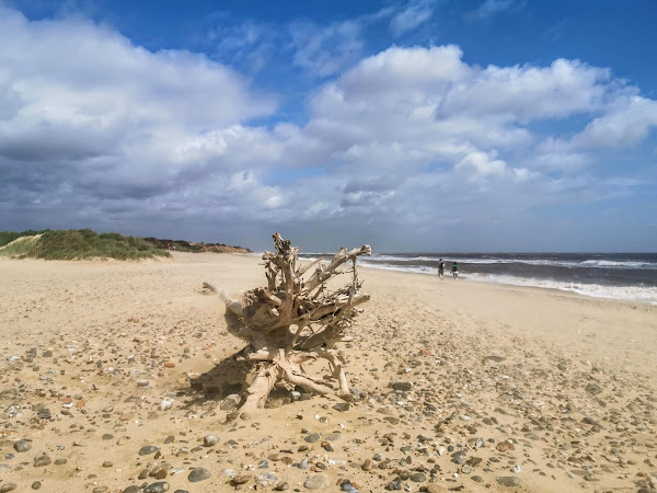
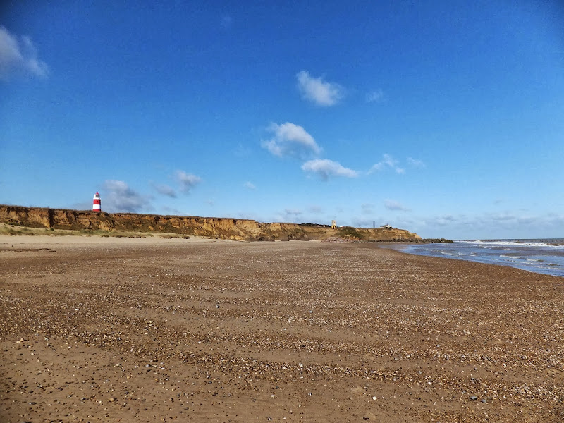
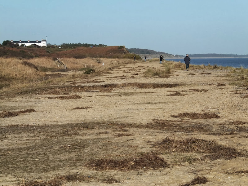
A 14 mile coastal walk between Gorleston and Kessingland crossing the border from Norfolk to Suffolk

This mighty fine walk takes the avid rambler to the most easterly point of the British Isles, Ness Point that is located in front of Lowestoft. The point is marked with a large circular ground compass with distances and direction to well known landmarks around the globe. The route uses cliff top paths, proms and beaches and makes for a great days walking.

Sunday 30 December 2018

Suffolk Coast Path - Lowestoft to Southwold Inland Route

Covehithe church

A 17 mile walk using the official inland route of the Suffolk Coast Path from Lowestoft to Southwold

Due to erosion and tides the Suffolk Coast Path takes an inland diversion for the section between Lowestoft and Southwold. Although the alternative beach route can be accessed providing the tides are right, this route nonetheless has its worth especially for the picturesque section around Frostenden.

Wednesday 23 February 2022

Suffolk Coast Path - Lowestoft to Southwold Beach Route

Lowestoft to Southwold Beach Route

An exhilarating 12 mile coastal walk along the Suffolk Coast.

The Suffolk Coast Path runs between Lowestoft and Southwold but due to coastal erosion has been diverted inland which results in some road walking, including along the main A12 between Pakefield and Kessingland. An alternative route is to follow the coast as it is possible to walk the entire distance along the beach providing one times the walk to coincide with low tide. This section is worth making the effort to walk, just to view the trees that are slowly being taken by the sea at Benacre and Covehithe broads where the distance between the broad and the sea is a mere sandy section of beach.

Monday 7 February 2022

Lowestoft to Sparrows Nest Circular Walk

Lowestoft to Sparrows Nest Circular Walk

Short town walk around Lowestoft

Short town walk that encapsulates a wander along the prom incorporating Ness Point, England's most easterly point. The return is through Sparrows Nest gardens, which are the former gardens to a local wealthy landowner by the name of Robert Sparrow.

Sunday 9 February 2020

Suffolk Coast Path

Martello Tower at Bawdsey

An overview of the Suffolk Coast Path, a 60 mile long distance path following the coast of Suffolk

A 60 mile long distance footpath from Felixstowe to Lowestoft in easy stages through some of the characteristic landscapes of the Suffolk Coast and Heaths Area of Outstanding Natural Beauty. The path also includes the Orford Loop which provides access through to Orford and the Butley Ferry. Alternative beach walks, providing the tide is right, can be undertaken throughout.

Tuesday 10 December 2019

Angles Way - Belton to Oulton Broad

Somerleyton pond

A 14 mile walk along the Angles Way between Belton and Oulton Broad, crossing the border from Norfolk to Suffolk

The Angles Way roughly follows the River Waveney down to Oulton Broad from Belton although there are very few locations where the river can be viewed. Most of the route is across fields, along country lanes and through little bits of woodland. It is a pleasant full afternoons walk with a couple of pubs en route for refreshment. The main place of interest is Somerleyton, named after a peace loving Viking, Sumarlithi, who arrived in the 10th century. It is now a sleepy little village, famed for being the home to Christopher Cockerell, the inventor of the hovercraft, but more renowned for its connection with Gradabor, a giant who once ransacked the area. Some say his ghost still returns to re-enact this destruction.

Sunday 8 December 2013

2013 Storm Surge at Sizewell and Thorpeness

The strange egg-shaped object on the left is most likely a piece of fallen cliff

A walk at high tide of the 2013 Storm Surge between Sizewell and Thorpeness

This is a photographic excursion of the 2013 Storm Surge down the Suffolk Coast. With media firmly concentrated on events in South Africa the only real way to find out was happening was to visit this destructive storm surge oneself. Although this part of Suffolk was relatively unscathed it still presented awe-inspiring seas and crashing waves.

Friday 18 July 2014

2014 NNR Beer Festival Beer List and Tasting Notes

The 13th North Norfolk Railway Beer Festival

The 13th North Norfolk Railway Beer Festival

The 13th North Norfolk Railway Beer Festival Tasting Notes

A listing of all the ales on offer, along with tasting notes, for the 13th North Norfolk Railway Beer Festival. Excellent selection from across the UK. Music from the King Size Papas, Mista Splinta and Ugly Dog Skiffle Combo. Hog Roast. Steam trains. Some great walks around the area. What else could anyone want.

Wednesday 23 February 2022

The Peddars Way - Thetford to Knetishall Heath

Thetford to Knetishall Heath

A trek from Thetford to the start of the Peddars Way

Thetford is the closest town to the start to the Peddars Way and there is no public transport between Thetford Railway Station and the starting point at Knetishall Heath. Looking at the OS Map, there is no direct route other than to walk along the main A1066 Thetford to Diss road. This is a busy road with no pathway and there is a good 4 miles walking before turning off down village lanes through Rushford where a little peace and serenity is regained to set the tone for the Peddars Way.

Saturday 29 December 2018

Wherrymans Way - Norwich to Thurton

River Yare at Bramerton

A 12.5 mile walk along Norfolk's Wherryman's Way

This is a delightful riverside walk following the River Yare out of Norwich and through to Rockland St Mary. Public transport can link the start and end by navigating down quiet country lanes to Thurton. Whitlingham Country Park provides an easy route to start and there's refreshment stops at Woods End and the Ferry Inn at Surlingham.

Thursday 28 November 2019

A Walk to Suffolks Mystery Brampton Standing Stone

A 14 mile walk between Halesworth and Beccles along the East Suffolk Line Path

This waymarked route links the railway stations at Halesworth, Brampton and Beccles. Taking the train between these towns will provide an interesting glimpse of what is in store along the walk, including the rather curious Belle Grove Farm looking as if it is out of some fantasy movie and the mysterious Brampton Standing Stone just south of Brampton Station.

Wednesday 5 December 2018

The Wherrymans Way - Rockland to Loddon

Hardley Drainage Mill

A 15 mile walk along Norfolks Wherrymans Way

The only way one can see the sights of the River Yare is to either sail the river or walk the Wherrymans Way. Even in a boat one cannot get as good a view as the path along the heightened defence banks. This is stereotypical Norfolk in all its glory and although it is a lengthy section of walking, it is well worth the effort.

Sunday 13 January 2019

East Suffolk Line Walk - The Yox Blyth Walk

Mells village

A 10 mile walk along the East Suffolk Line Trail between Halesworth and Darsham

Great views are to be had along the Blyth valley before footpaths head over to the Yox valley. The village of Bramfield is at the half way point where is an old pub for refreshments as well as a distinctive church with a detached tower and a fine example of a Crinkle Crankle Wall, not to mention the legendary Bramfield Oak.

Saturday 30 July 2011

Woodfordes Ale Trail 2011

After a one year gap Woodfordes have announced their popular Ale Trail for 2011. The Ale Trail is an incentive to visit outlets of Woodfordes ales in order to collect stamps which can win you a variety of prizes including a polypin of either Admirals Reserve or Nelsons Revenge. The outlets are principally throughout Norfolk and Suffolk and provide a chance to create walks to visit some of these off-the-beaten-track hostelries. The trail card and pub guide can be found on Woodfordes website at http://www.woodfordes.co.uk/2011pubguide.pdf. I have also converted the pub locations into an interactive google map which can be found at http://vulcanarms.freehostia.com/woodfordes/2011pubs.htm. The Ale Trail runs from June 19th until September 30th.

Saturday 25 January 2020

Saxmundham to Rendham Circular Walk

Rendham church

Circular Walk between Saxmundham and the village of Rendham

Six mile circular walk across the Suffolk countryside with a worthy stop off at the White Horse pub at Rendham. Woodland, open fields, babbling brooks make this typical of this part of Suffolk. And there is history to, with the Roman bronze head being discovered in the river at Rendham back in 1907. How did it get there?

Monday 9 May 2016

Seaside Walk Week

Seaside Walk Week

It will soon be 2016 Seaside Walk Week. From Sunday 29 May to Sunday 5 June, this event, which is in its second year and organized by the charity Family Holiday Association, is dedicated to getting everyone outside to enjoy some fresh air and the beauty of the Great British seaside. The event will launch with an official walk in Scarborough, Britain’s first seaside resort, and end with another official walk as part of a grand finale weekend in Weston-super-Mare. Full details are available from their website page for Seaside Walk Week.

Saturday 29 December 2018

Boudicca Way - Norwich to Shotesham

Shotesham Common

A 12 mile walk roughly following Norfolk's Boudicca Way

This walk uses the Boudicca Way to navigate from Norwich to Shotesham, with an excursion away from the official route to the ruins of the Roman town Venta Icenorum. Shotesham forms the furtherest reaches of the Boudicca Way on this route, from where country lanes cuts across country to the A140 where there is a frequent bus service back into Norwich.

Tuesday 8 February 2022

Suffolk Coast Path Challenge Walk Part 2

Suffolk Coast Path Challenge Walk Part 2

A 2 day challenge walk to complete the Suffolk Coast Path

The second day of a 2 day challenge walk to walk the Suffolk Coast from Languard Fort to the county boundary at Hopton. This second starts at Sizewell and continues through to Hopton

Thursday 10 January 2019

Happisburgh to Winterton Beach Walk

Happisburgh from Eccles

An 11 mile beach walk between along the Norfolk coast from Happisburgh to Winterton

Providing the tide is right, this is a fantastic beach walk with miles of golden sand and, if you are lucky, the sight of seals basking in the sunshine. Probably one of the best beach walks on this coastline.

Sunday 22 December 2013

The Aftermath of the 2013 Storm Surge at Minsmere

Flattened dunes by the Northern Sea Wall to Minsmere

A 10 mile circular walk to witness the damage caused by the 2013 Storm Surge

The 2013 Storm Surge proved to be the highest tide in 60 years. Although much of the flooding had recede the evidence remained of where the waters reached. Viewing the changes in coastline shows just how vulnerable this stretch of the Suffolk coast really is, especially in view of the fact that such storms appear to be increasing in frequency. The walk returns through the heath and forest via Dunwich Heath and Eastbridge where the results of Octobers St Jude storm are evident from the many fallen trees.

Walk Summaries

Latest walk summaries are basic information sheets for walks that have yet to be fully documented. These provide links to maps, public transport and walks stats, although detailed notes and features are not included.

Latest Walk Summaries

Featured Walk

In Search of Sizewell Chapel

A 10 mile walk following the southern side of the parish boundary of Leiston in Suffolk This walk follows the route of a 17th century peramb...

What is GPX

All you need to know about GPX, electronic mapping and how to use modern apps and mobile devices as navigation devices

Popular Walks

Maps