Route details, maps, pubs, features, local history and folklore for a wide variety of walks focusing primarily on Norfolk and Suffolk

Walks
Showing posts sorted by relevance for query Lands End. Sort by date Show all posts

Monday 7 January 2019

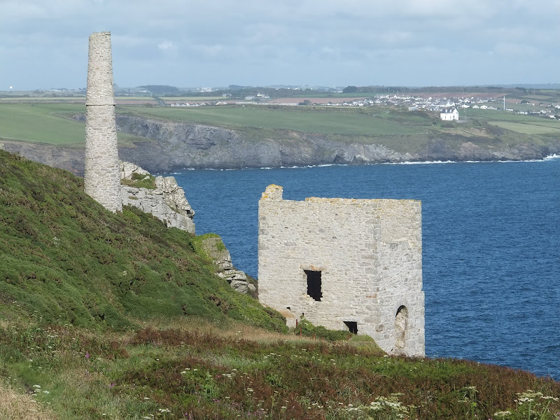
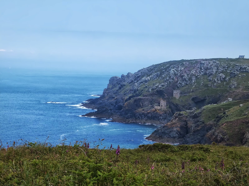
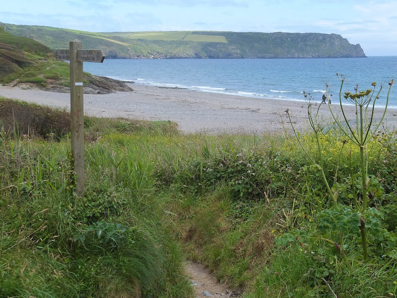
South West Coast Path - Land's End to Sennen Cove

Coast path to Sennen Cove

A very easy 1.6 mile walk between Lands End and Sennen Cove on the South West Coast Path

This is an easy walk along this magnificent coast line. A bus service links the two ends or it can be completed as a circular walk returning along the Cornish Way cycle track which runs parallel to the Coast Path . Looking out towards the9this is included in the Viewranger navigation) west and the Scilly Isles one may catch a glimpse of a spire or a dome or hear the muffled toll of bells from the fabled land of Arthurian legend that is known as Lyonesse and which disappeared beneath the waves.

Tuesday 8 January 2019

South West Coast Path - Lands End to Mousehole

Enys Dodnan

An arduous but rewarding 13 mile walk along the South West Coast Path between Lands End and Mousehole

This is an arduous section of the coast path but is nonetheless worthwhile for its spectacular scenery and rugged landscape. There is little in the way of civilisation throughout the entire route but the views and amazing with the natural wonders of the Longships rocks, Gwennap Head, Logans Rock and so much more.

Sunday 30 December 2018

South West Coast Path - Marazion to Porthleven

Old Tin mine

An 11 mile walk along the Cornish section of the South West Coast Path between Marazion and Porthleven

A moderate section of coast walking with few strenuous challenges as the path negotiates the cliffs from Marazion to Porthleven. With disused tin mines, the surfing beach at Praa Sands and the charming buildings around Prussia Cove there's plenty to take in along the way.

Sunday 16 December 2018

South West Coast Path - Sennen Cove to Pendeen

Cliff mines at Botallack

A rewarding 9 mile walk along the South West Coast Path between Sennen Cove and Pendeen

This is a spectacular section of the South West Coast Path following the rugged cliffs on the western edge of Cornwall. There are a few challenges with the craggy terrain through to Cape Cornwall but the scenery is well worth the effort. The last stage is littered with the remnants of old mine workings that nestle into the cliff sides. These crumbling deserted edifices to old industry now sit aesthetically with their surroundings and at one with nature.

Sunday 12 December 2021

In Search of Leiston's Ancient Pagan Sites, the Procession Rayles and Gallows

Harrow Lane

A 7 mile walk following the western parish boundary of Leiston in Suffolk, as described in a document from the middle-ages

This walk attempts to follow the instructions of a perambulation around the western side of the Leiston Parish boundary that was undertaken in the year AD1620. Leiston's history is renowned for its Abbey and the Garret's works, but this walk also discovers the site of a possible ancient pre-Christian shrine or temple, the location of the Leiston gallows and the procession route taken by those attending this gruesome public spectacle.

Tuesday 22 January 2019

South West Coast Path - Falmouth to Helford Passage

Durgan

A 10 mile walk along the Cornish section of the South West Coast Path between Falmouth and the Helford Crossing

A picturesque walk following the coast on from the Fal estuary round to the Helford River where a ferry links the village of Helford. The views are spectacular throughout this moderately challenging walk and includes a glorious stroll across the pasture-land around Rosemullion Head.

Saturday 29 December 2018

South West Coast Path - Mevagissey to Porthscatho

Place ferry

A 17 mile walk along the Cornish section of the South West Coast Path between Mevagissey and Porthscatho

This walk navigates along the Roseland Peninsular with diversions from the official Coast Path along country lanes. This provides a safer alternative for when the weather conditions are poor and the paths are slippery and visibility poor. This section of coastline has some remarkable scenery when the sun does shine and the paths are not too strenuous. The drawback is the lack of public transport between the two ends of the walk.

Norwich to Wymondham - In Search of Kett's Oak

Kett's Oak

A 12 mile walk linking Norwich and Wymondham

Kett's Oak is a tree that folklore states was the meeting place for what was to become Kett's Rebellion in the year of 1549. The ageing tree still stands forlorn by the roadside, passed by 1000's of motorists each day, no doubt most of whom are oblivious to this piece of roadside history. This walk seeks to pay homage to Robert Kett by returning to his tree, and researching into the whys and wherefores of the infamous rebellion which followed.

Wednesday 14 November 2018

Norfolk/Suffolk Coast - Gorleston to Kessingland

A 14 mile coastal walk between Gorleston and Kessingland crossing the border from Norfolk to Suffolk

This mighty fine walk takes the avid rambler to the most easterly point of the British Isles, Ness Point that is located in front of Lowestoft. The point is marked with a large circular ground compass with distances and direction to well known landmarks around the globe. The route uses cliff top paths, proms and beaches and makes for a great days walking.

Saturday 27 October 2018

Angles Way - Belton to Great Yarmouth

An 8 mile walk along the Angles Way from its start at Great Yarmouth to Belton

The Angles Ways journey begins with a walk along the banks of Breydon Water to Belton. Along this route can be seen the impressive remains of the Roman fort Gariannonum at Burgh Castle. This is a simple afternoons walk with a frequent bus service linking Great Yarmouth and Belton for the return journey. On this occasion we walked the path in reverse having set up camp at Belton.

Wednesday 2 January 2019

A Walk around Suffolk's Minsmere Bird Reserve

Minsmere sluice

A 10 mile circular walk through the Suffolk Coastal Area of Outstanding Natural Beauty taking in Sizewell and the Minsmere Bird Reserve

One does not have to have an enthusiasm for ornithology to enjoy this walk. The natural surroundings of marshland and heathland are enough to inspire everyone and there is a lot of associated history along this route which dates back to the 12th century when Leiston Abbey once occupied an island in the marshes. Note that charges apply to the Minsmere section.

Saturday 29 December 2018

Gipping Valley Way - Needham Market to Ipswich

near Pipps Ford

A 13 mile walk following Suffolk's River Gipping between Needham Market and Ipswich

A riverside walk tracing the route of the River Gipping as it heads through Suffolk to join the tidal waters of the Orwell at Ipswich. A gentle ambling route that twists and turns through the countryside which presents a perfect summers walk.

Tuesday 27 November 2018

The Weavers Way

Weavers Way Marker

An overview of the The Weavers Way, a 60 mile long distance footpath through Norfolk linking Cromer and Great Yarmouth.

The Weavers Way takes its name from the cottage weaving industry that established itself during Middle Ages around the North Walsham area. The path is characterised by the various sections that it passes through on route, firstly historic halls, then old railways followed by river walks before the final section across the lowland Norfolk landscape with its characteristic big skies.

Tuesday 17 December 2019

South West Coast Path - Bude to Boscastle

View from Buckator

An 16 mile walk along the South West Coast Path between Bude and Boscastle

A challenging walk along a spectacular part of the South West Coast Path. Although this can be achieved in a single day there is the village of Crackington haven near to the half way mark which allows one to cut the walk into two smaller options. Waterfalls to see, steep valleys to cross and some amazing views of the coastline.

Wednesday 18 December 2019

Weavers Way - Cromer to Aylsham

Felbrigg Hall

A 17 mile walk along Norfolk's Weavers Way from Cromer to Aylsham

Historic halls, stately homes and ancient commons and villages are what typifies this northern section of the Weavers Way. This really is a typical old English scene throughout making a most pleasurable all day walk. There are numerous pubs along the route which serve both ale and food.

Tuesday 20 March 2018

Eye to Hoxne Circular Walk

Hoxne village

A 10 mile walk around the Suffolk villages of Eye and Hoxne

Hoxne is said to be where St Edmund was Martyred by the Viking invaders in the 9th century. The village is full of reminders of the gruesome event including the cross which marks the place of the oak tree his assailants tied him to, beat him, fired arrows at and eventually beheaded and the bridge he reputedly hid trying to escape his captors.

Thursday 7 January 2021

In Search of Leiston Gibbet, Friday Market Heath and St Andrews Green

Land by the River Hundred at Aldringham

A 6 mile walk around the heaths and commons of Coldfair Green

This walk follows an investigation to seek out the location of the Leiston Gibbet and an area of heathland that was known in the 1600's as Friday Market Heath. The only reference to these places comes from an old book from 1910 entitled 'The Chronicles of Theberton' which details the route past the gibbet. This walk attempts to retrace this route by navigating along the heathland and footpaths around the River Hundred which marks the boundary between the hundreds of Blything and Plomestead. Extensive research which has been undertaken and documented in the feature of this walk with some revealing insights to long forgotten places.

Saturday 26 January 2019

An Extended Walk around the Rendlesham UFO Trail

A 12 mile circular walk starting at Eyke and incorporating the UFO Trail in Suffolk's Rendlesham Forest

The Rendlesham UFO trail is a waymarked 3 mile trail around the eastern end of Rendlesham Forest that navigates around the key areas that were involved in the Rendlesham Forest Incident of 1980 in which both civilian and military personnel witnessed unexplained craft land within the forest. Although this can be walked by parking up at the visitor car-park in the forest, a longer alternative is to take the footpaths from Eyke, and make a day of this most wonderful and intriguing part of Suffolk.

Saturday 29 December 2018

A Norfolk Broads Walk from Neatishead to Horning

Cormorants on Barton Broad

An easy 6 mile walk following the River Ant down to the Bure at Horning.

The Norfolk Broads are full of ghostly stories and this walk brings a few to life. From the spooky lights of Hoards Hole, encounters with Black Shuck and the curious transformation of Horning's riverside houses to Saxon days when it was just a grassy bank, there is plenty to reflect upon as one wanders the footpaths and quiet country lanes that make up this route. And maybe, who may tell, given the right conditions, you may even glimpse a spectral view from another dimension.

Tuesday 22 February 2022

The Essex Coast - Tollesbury to Maldon

Tollesbury to Maldon

The seventh and last stage of a weeks walking along the Essex Coast between Manningtree and Maldon.

Due to the limited buses between Tollesbury and Maldon we took the decision to walk this in reverse as we did not want to miss the last bus back to Tollesbury from Maldon at 4:30. Doing this would then give us more time to take in the sights along the Blackwater estuary. Although this was the last section on this occasion we returned a few years later to continue from Maldon and onto Purfleet.

Walk Summaries

Latest walk summaries are basic information sheets for walks that have yet to be fully documented. These provide links to maps, public transport and walks stats, although detailed notes and features are not included.

Latest Walk Summaries

Featured Walk

In Search of Sizewell Chapel

A 10 mile walk following the southern side of the parish boundary of Leiston in Suffolk This walk follows the route of a 17th century peramb...

What is GPX

All you need to know about GPX, electronic mapping and how to use modern apps and mobile devices as navigation devices

Popular Walks

Maps