Route details, maps, pubs, features, local history and folklore for a wide variety of walks focusing primarily on Norfolk and Suffolk

Walks
Showing posts sorted by relevance for query Ipswich. Sort by date Show all posts

Saturday 29 December 2018

Gipping Valley Way - Needham Market to Ipswich

near Pipps Ford

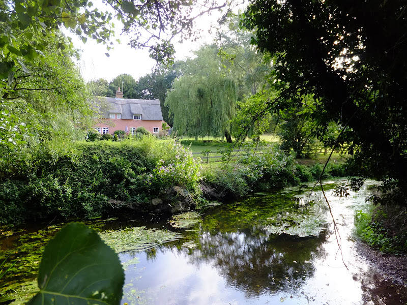
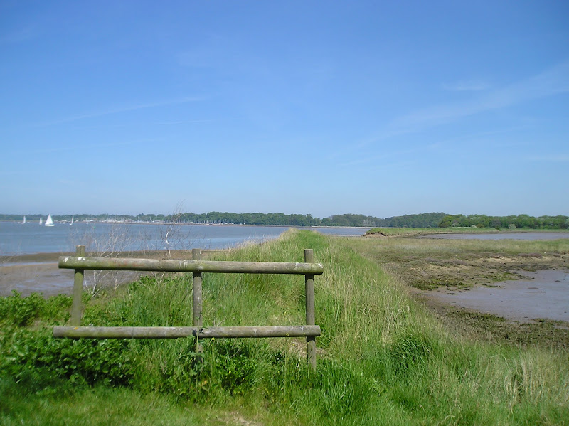
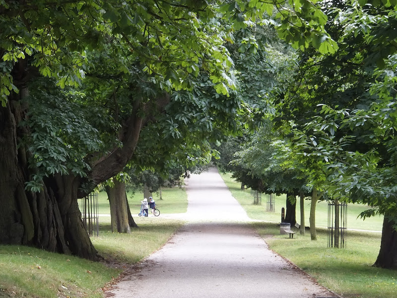
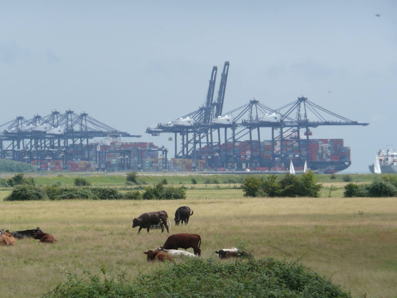
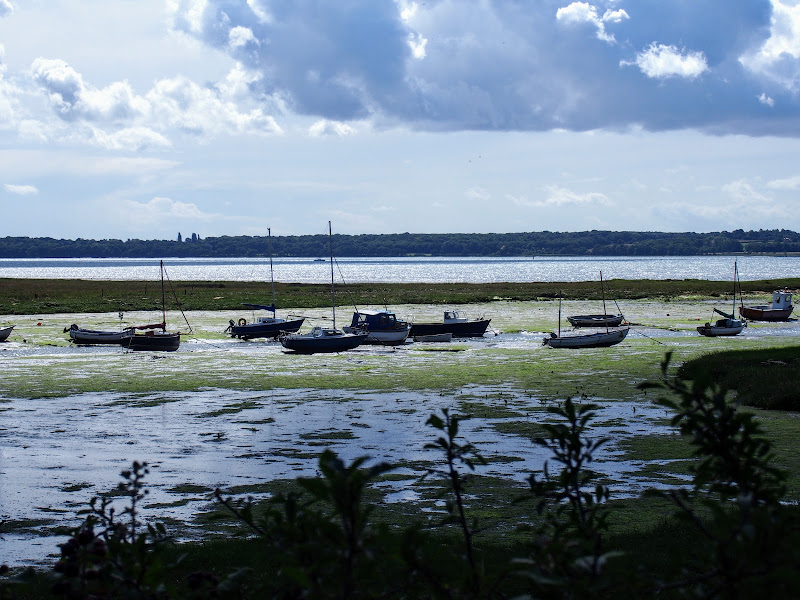
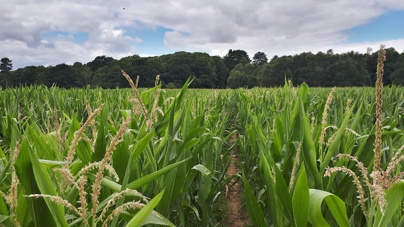
A 13 mile walk following Suffolk's River Gipping between Needham Market and Ipswich

A riverside walk tracing the route of the River Gipping as it heads through Suffolk to join the tidal waters of the Orwell at Ipswich. A gentle ambling route that twists and turns through the countryside which presents a perfect summers walk.

Wednesday 15 January 2020

Stour and Orwell Walk - Felixstowe to Ipswich

A 17 mile walk along the banks of the Orwell River in Suffolk starting at Felixstowe and ending in the centre of Ipswich

The Stour and Orwell path is an extension to the southern end of the Suffolk Coast Path and follows the coast along the estuaries of the Orwell and the Stour. The start of the walk is characterised by the earthen river defences along which the footpath navigates. From Levington Creek an alternative route is used to pay a visit to the 13th century Ship Inn before proceeding through Broke Hall Woods to rejoin the official route through to Ipswich.

Wednesday 21 November 2018

The Fonnereau Way to Ipswich

Christchurch Park

A 12 mile walk between Woodbridge and Ipswich incorporating sections from the Fonnereau Way, the Sandlings and the Fynn Valley Way

This walk links the railway stations of Woodbridge, Westerfield and Ipswich with scenic views along the estuary at Woodbridge and the Fynn Valley before entering Ipswich from the west through the historic parkland known as Christchurch park which dates from the 12th century which includes many historic features and a mansion that is open to the public.

Tuesday 4 May 2021

Stour and Orwell Walk - Ipswich to Shotley Gate

Industry and nature

A 14 mile walk along the banks of the River Orwell in Suffolk between Ipswich and Shotley Gate

The Stour and Orwell path is an extension to the southern end of the Suffolk Coast Path and follows the coast and heaths along the estuaries of the Orwell and the Stour rivers. This particular walk focuses on the section between Ipswich and Shotley Gate following the river Orwell along the Shotley peninsular.

Sunday 1 August 2010

Ipswich to Shotley Gate

A walk along the Shotley Peninsular
A 14 mile walk along the banks of the River Orwell in Suffolk between Ipswich and Shotley Gate.
The Stour and Orwell path is an extension to the southern end of the Suffolk Coast and Heaths Path and follows the coast and heaths along the estuaries of the Orwell and the Stour, going up to Ipswich, then back out to the Shotley peninsula before returning to Cattawade. I have always thought about walking this path as it is so close to home but have never attempted it until recently. On 22 May 2010 we walked the section from Felixstowe to Ipswich and this is the continuation of that walk.

Friday 17 August 2018

Stour and Orwell Walk - Cattawade to Shotley Gate Walk Summery

Salt marsh

A walk along the Stour estuary following the Stour and Orwell long distance path.

The Stour and Orwell Walk is a long distance trail that follows the estuaries of South Suffolk. This 42 mile trail links Felixstowe and Manningtree and this specific walk is the southern most section that follows the north side of the River Stour estuary. There are some superb views across the wide waters that separate Suffolk and Essex and although there is not full access along the waterfront, the route provides a pleasant days ramble to the head of the Shotley peninsular. This specific route also diverges from the official route to take in the village of Erwarton, a quiet and tranquil Suffolk community that is a pleasure to meander through.

The route is waymarked throughout although it is advisable to use an OS map or GPX tracker software to clarify the route in a few specific points where the way onwards becomes ambiguous. Do check tide times as there is a short section along the beach by Sutton Ness which can become inaccessible during periods of high tide.

The main limitation of this walk is the transport access between the two ends. There is no direct bus service and one needs to use Ipswich as a link. Having said this, the services do allow ample time to perform the walk.

It is advisable to take food and drink as there are little opportunities to purchase any on the route, with the only pub encountered being that at the end of the walk.

Saturday 27 March 2021

Foxhall Mill Stream Circular Walk

A field of sweetcorn adjacent to Brookhill Wood

Short circular walk following the Mill Stream through Foxhall, Ipswich

One branch of The Sandlings Path that leads into Ipswich, follows a route across Foxhall Heath. This small walk uses the path as the basis of a circular walk through this natural woodland location.

Sunday 26 August 2018

Sandlings Walk - Rushmere to Melton Walk Summary

Salt marsh

The Suffolk Sandlings path between Rushmere, on the eastern side of Ipswich, and Melton

The Sandlings is a long distance path linking Ipswich and Southwold through the Suffolk Coast and Heaths Area of Outstanding Natural Beauty.

A starting point is provided at Rushmere Heath, close to Ipswich Hospital and takes a rural route out behind Kesgrave and through to Martlesham. The trail then heads down to Martlesham Creek, a sizeable creek off of the River Deben that creek was said to be used in 18th century smuggling days as a discreet place to offload contraband. A riverside path then provides access all the way through to Melton. This is the highlight of the walk, a true delight to wander no matter what time of the year.

Although there are no specific pubs along the route, a short diversion gives access to The Black Tiles at roughly the half way point. There is public transport linking the two ends with 800 First Group bus service departing from outside Melton railway station. The 64 service follows a similar route and departs from The Street in Melton. There is no Sunday service.

Features along the route include an anonymous grave on Martlesham Heath known as Dobbs' Grave, reputedly the resting place of a shepherd boy named Dobbs who committed suicide. The area is purported to be haunted some saying it to be the ghost of Brainy Dobbs, an airman from Martlesham Heath airfield.

Martlesham Heath Control Tower Museum is located a little further along and pays homage to RAF Martlesham Heath, which contributed to the development of aviation as well as being a key airfield during two world wars. Open on Sundays from Easter to October.

The impressive renovated Tide Mill sits on the banks of the Deben at Woodbridge and is a worthwhile attraction to take time out and visit. The mill, over 800 years old, is said to be the oldest in the country.

Sunday 25 April 2010

The Sandlings Walk - Ipswich to Melton

boat on Deben estuary

The start of the Sandlings can be found in several points in Ipswich but we chose Rushmere Heath opposite Ipswich hospital. One thing about Ipswich is that it always reminds you that it is there despite the peacefulness of the Heath. There is constant background noise of sirens, traffic, distant motorbikes.Once past Martlesham you are then in the serenity of the countryside with all the delights of the river Deben and Martlesham Creek.

NOTE - this walk page has been superseded by a Walk summary located at Rushmere to Melton Walk Summary
 

Monday 17 December 2018

The Sandlings Walk

The Sandlings Waymarker

An overview of the Sandlings Walk, a 55 mile long distance path through the forests and heaths of East Suffolk

The Sandlings is a 55 mile walk starting at Rushmere Heath on the eastern side of Ipswich with Southwold, passing through the remaining fragments of East Suffolks Sandling Heaths. The trail leads through Rendlesham, Tunstall and Dunwich forests and also includes riverside walks at Woodbridge and heathland walks across Rushmere Heath, Sutton Heath, Thorpeness Common and Dunwich Heath..

Friday 26 March 2021

Foxhall and Brookhill Wood Walk

A field of sweetcorn adjacent to Brookhill Wood

Short circular walk around heaths and woodlands of Foxhall, Ipswich

A pleasant stroll around the heaths and woodlands around Foxhall, to the east of Ipswich. The walk is short but nonetheless a pleasant way to while a way an hour or two. Natural woodland, babbling stream and if you look very carefully you may even see what remains of Foxhalls All Saints Church

Thursday 20 December 2018

The Sandlings Walk - Martlesham to Rushmere Heath

Martlesham Heath Control Tower Museum

A 4.5 mile walk across heathland from Martlesham to Rushmere Heath on the eastern fringes of Ipswich

Like most modern towns, Ipswich is suffering from a seemingly endless amount of urban sprawl that envelops the traditional villages that once surrounded it. However, this walk follows heathland that is hidden behind the housing estates all the way from Martlesham through to Rushmere Heath and Ipswich Hospital

Tuesday 10 December 2019

Alton Water Reservoir Walk

Daisies at Alton Water

An 8 mile walk around Suffolk's Alton Water Reservoir

Located on the Shotley peninsular, the Alton Water Reservoir provides an easy walk around its water. A self contained circular route that needs little in the way of maps. Just keep the water on your left and keep walking! The mixed variety of landscapes of open meadow, woods and even the hills on the northern side of the reservoir provide a constant changing scenery throughout the walk.

Sunday 23 October 2011

Completion of The Woodfordes Ale Trail 2011

The Woodfordes Ale Trail ended on 30th September and it was time to total up our stamps and collect our prizes. To recollect the rules, one has to visit Woodfordes outlets that are contained in their 2011 guide and on purchasing a pint of Woodfordes ale the publican will add an entry to the Trail Card with a unique stamp. There is only one stamp allowed for each venue and the trail only runs from June to the end of September. There is a different prize for collecting multiples of 10 stamps with the top prize being a polypin of ale for 60 stamps. In 2009 we managed to fill 2 Trail Cards and had started a third giving us a bounty of 2 polypins and a Nelsons Revenge t-shirt. This year we were not as successful due to being away from the area for a few weeks over the summer months. The end result was that we only completed half of the card. Nonetheless, this was thirty stamps collected which was rewarded with a mighty fine Woodfordes Hoody worth £25 as modelled by Kat in the photo above, an item that will most certainly keep us warm on our camping and walking expeditions

Monday 21 January 2019

An Amble up the Deben Estuary

Felixstowe Ferry

A 13 mile walk along the River Deben in Suffolk, starting at Felixstowe and ending in Martlesham

The lovely walk along the Deben estuary. Although parts are inaccessible due to breaches of the flood banks, the mix of riverside paths, country lanes and footpaths provides an ideal mix of landscapes to keep any walker fascinated. The May bush pub offers a perfect place to take a rest and refreshment, its riverside location unbeatable.

Tuesday 17 December 2019

Bromeswell Village Walk

St Edmunds church

A very easy 2 mile walk around the Suffolk Village of Bromeswell

The Sandlings Path avoids the busy road between Melton and the footpath across the Heathland to Rendlesham Forest by navigating around the quiet village of Bromeswell. Although only a short distance, it is worth taking ones time to explore this quiet village with its typically East Anglian church of St Edmund.

Tuesday 27 November 2018

Ufford Heritage Trail

Smock Meadow floods

A 3 mile walk around the village of Ufford

Ufford is rich in heritage and well worth exploring. The Heritage Trail was created in 2006 and leads the walker around the historic features of the village including the village stocks, water meadows and the many listed buildings. The Highlight of the trail has to be the church which has the unusual dedication to St Mary of the Assumption and contains the second largest font cover in England which is a sight to behold.

Saturday 15 December 2018

Suffolk Coast Path - Snape to Felixstowe

Looking bck towards Shingle Street from Bawdsey

A 20 mile walk along the Suffolk Coast Path between Snape and Felixstowe

This is the most remote section of the Suffolk Coast Path and follows the Butley River down to Shingle Street and then continues along the coast to the ferry at Bawdsey. There is an eerie sense of foreboding when walking this section. The solitude. The windswept landscape. The distant silhouettes of the Orfordness Pagodas. The lonely river. One can walk virtually the entire distance without seeing a soul and the only company is the decaying remains of WWII defences and the looming martello towers from Napoleonic times.

Saturday 12 January 2019

Down the Blyth Valley in Pursuit of Black Shuck

River Blyth near Halesworth

An 18 mile walk down the Blyth Valley in Suffolk from Halesworth to Blythburgh, then across the heaths and commons to Leiston.

It was the legendary hell hound that supposedly came this way in 1577 and terrified parishioners of Blythbrugh church after doing a similar job at Bungay. This walk is in two sections, the first section follows the River Blyth along the Waveney Way to Blythburgh with the option to continue on to Southwold. The Waveney Way is a Ramblers Association walk and does not have waymarkers along the route. An optional second section cuts across to Westleton and onto Leiston. Both Southwold and Leiston have public transport links to Halesworth making the walk achievable as a linear route without the requirement of assistance of a taxi.

Tuesday 4 December 2018

A Walk to Languard Fort

A 10 mile walk from Trimley to Languard Fort via Felixstowe Ferry

This walk navigates from the village of Trimley down to Kings Fleet and along the banks of the River Deben to Felixstowe Ferry, the setting of an old Black Shuck tale from many years ago which is a feature to this walk. A coastal walk follows, along the seafront of Felixstowe through to the where the River Orwell meets the sea, a strategic point of defence against attacking enemies attempting to sail up the estuary. Key to that defence is Languard Fort which has stood here for many centuries and has played key parts in the world wars of the 20th centuries. A fascinating place to visit with a certain eeriness within its confines.

Walk Summaries

Latest walk summaries are basic information sheets for walks that have yet to be fully documented. These provide links to maps, public transport and walks stats, although detailed notes and features are not included.

Latest Walk Summaries

Featured Walk

In Search of Sizewell Chapel

A 10 mile walk following the southern side of the parish boundary of Leiston in Suffolk This walk follows the route of a 17th century peramb...

What is GPX

All you need to know about GPX, electronic mapping and how to use modern apps and mobile devices as navigation devices

Popular Walks

Maps