Route details, maps, pubs, features, local history and folklore for a wide variety of walks focusing primarily on Norfolk and Suffolk

OSmap:OL40+Coast Walk Walks
Showing posts with label OSmap:OL40+Coast Walk. Show all posts

Friday 11 January 2019

Seals, sea and sand at Horsey Gap

Seals

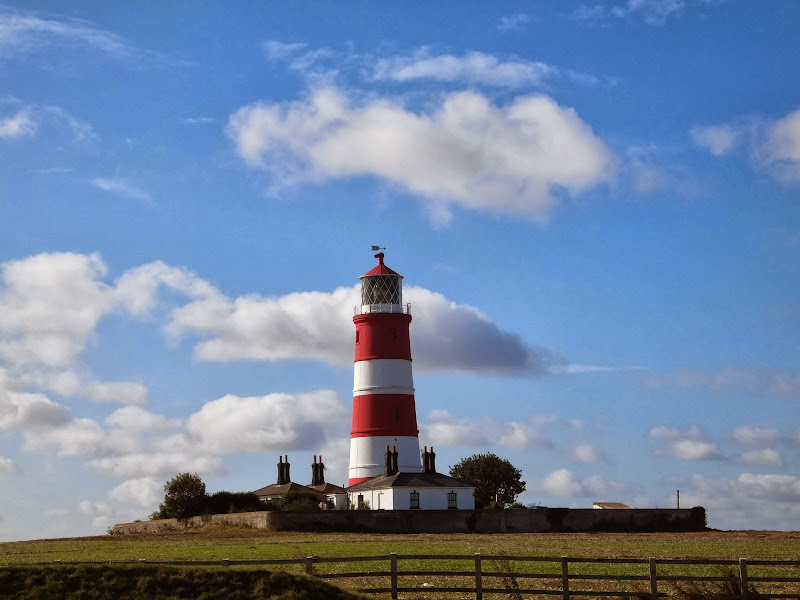
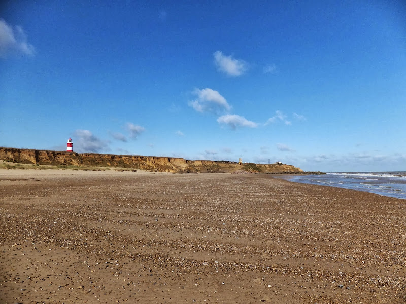
A 15 mile circular walk along the Norfolk Coast between Happisburgh and Horsey Gap to witness the Seals

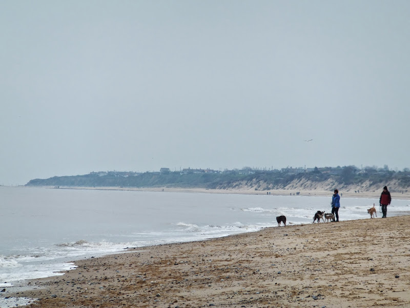
This section of Norfolk's east coast is dependant upon time and tide so one needs to plan it well. At low tide there are vast sandy stretches all the way through to Horsey with such delights as witnessing seals sunning themselves on the beach, a sight one cannot fail to be impressed with. Whole colonies lay on the beach and each and every one of them appears to have a photogenic aptitude. With the advent of the England Coast Path, there is a route all the way back through the dunes or on the landward side of them.

A visit to the rather curious Happisburgh

Happisburgh lighthouse

A simple 3 mile circular walk along the Norfolk Coast between Happisburgh and Eccles

Happisburgh is curious - it is slowly being taken by the sea, its houses slowly falling victim to the tides. The pub gardens boast a signal box to a railway line that never got built. A lighthouse stands guard to the south and its lifeboat is located at the next village of Eccles. In recent times the tide has uncovered prehistoric human footprints. And there is local folklore of ghostly smugglers and misdeeds. Very curious indeed.

Thursday 10 January 2019

Happisburgh to Winterton Beach Walk

Happisburgh from Eccles

An 11 mile beach walk between along the Norfolk coast from Happisburgh to Winterton

Providing the tide is right, this is a fantastic beach walk with miles of golden sand and, if you are lucky, the sight of seals basking in the sunshine. Probably one of the best beach walks on this coastline.

Sunday 30 December 2018

Suffolk Coast Path - Lowestoft to Southwold Inland Route

Covehithe church

A 17 mile walk using the official inland route of the Suffolk Coast Path from Lowestoft to Southwold

Due to erosion and tides the Suffolk Coast Path takes an inland diversion for the section between Lowestoft and Southwold. Although the alternative beach route can be accessed providing the tides are right, this route nonetheless has its worth especially for the picturesque section around Frostenden.

Wednesday 21 November 2018

Winterton to Great Yarmouth Beach Walk

Hemsby

A 9 mile beach walk between along the Norfolk coast from Winterton to Great Yarmouth

This walk is probably better known as Robinson Crusoe's walk since this is where Daniel Defoe places his character, in the novel of the same name, after being shipwrecked with a resulting walk to Great Yarmouth. Although such a stormy day would not make the best of walks, when the sun shines and the tide is out this really is a great walk.

Wednesday 14 November 2018

Norfolk/Suffolk Coast - Gorleston to Kessingland

A 14 mile coastal walk between Gorleston and Kessingland crossing the border from Norfolk to Suffolk

This mighty fine walk takes the avid rambler to the most easterly point of the British Isles, Ness Point that is located in front of Lowestoft. The point is marked with a large circular ground compass with distances and direction to well known landmarks around the globe. The route uses cliff top paths, proms and beaches and makes for a great days walking.

Walk Summaries

Latest walk summaries are basic information sheets for walks that have yet to be fully documented. These provide links to maps, public transport and walks stats, although detailed notes and features are not included.

Latest Walk Summaries

Featured Walk

In Search of Sizewell Chapel

A 10 mile walk following the southern side of the parish boundary of Leiston in Suffolk This walk follows the route of a 17th century peramb...

What is GPX

All you need to know about GPX, electronic mapping and how to use modern apps and mobile devices as navigation devices

Popular Walks

Maps