The Essex Coast - Wivenhoe to Salcott
|
Tuesday 22 February 2022
|
No comments |
![]()

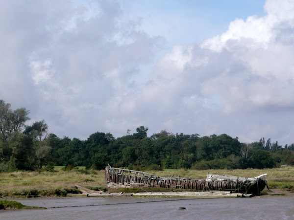
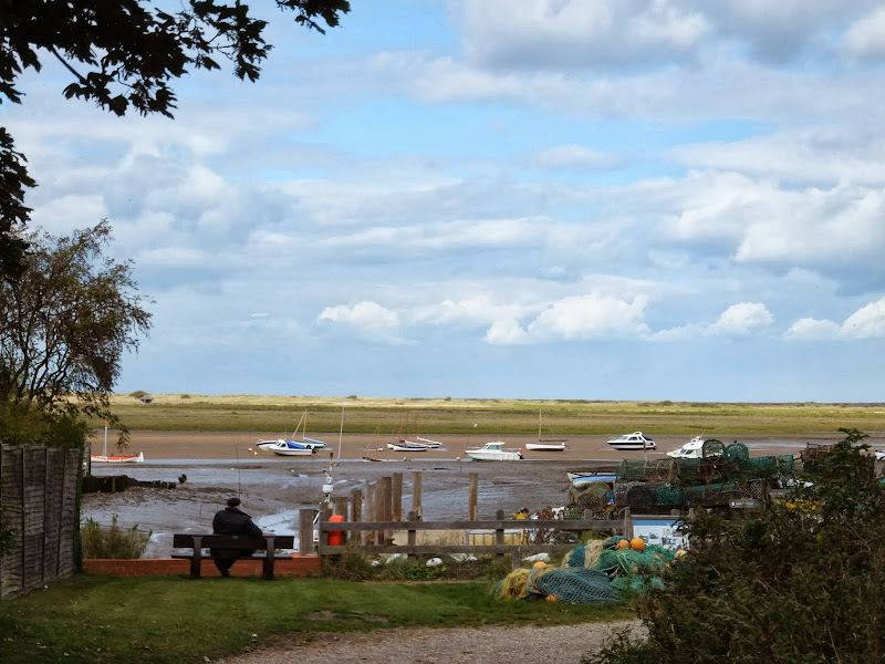
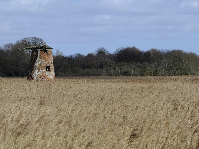
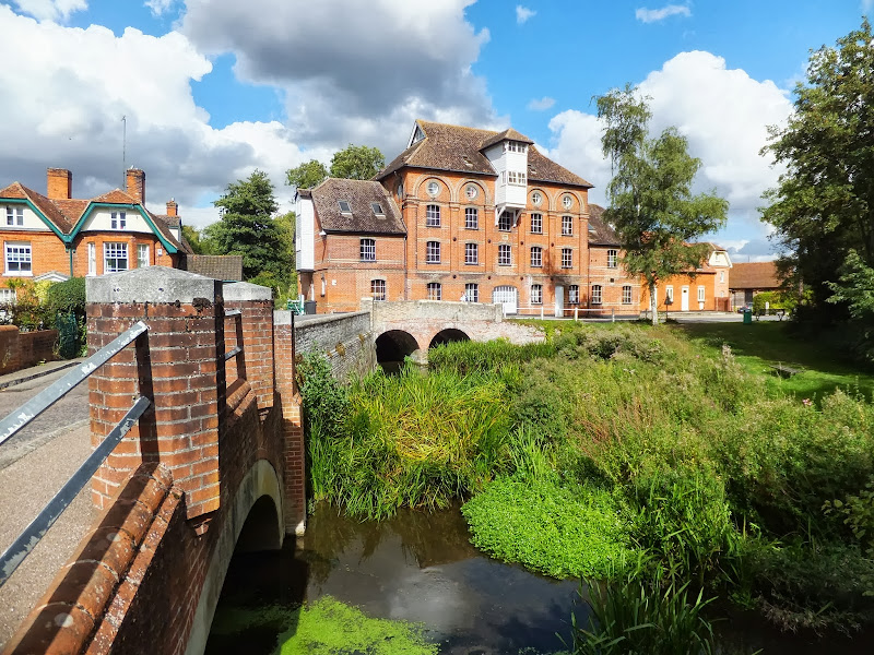
Wivenhoe to Salcott
The fifth stage of a weeks walking along the Essex Coast between Manningtree and Maldon.
|
Tuesday 22 February 2022
|
No comments |
![]()
The fifth stage of a weeks walking along the Essex Coast between Manningtree and Maldon.
|
Monday 21 February 2022
|
1 comment |
![]()
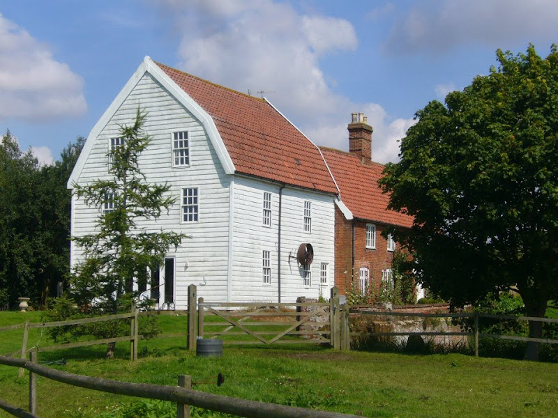
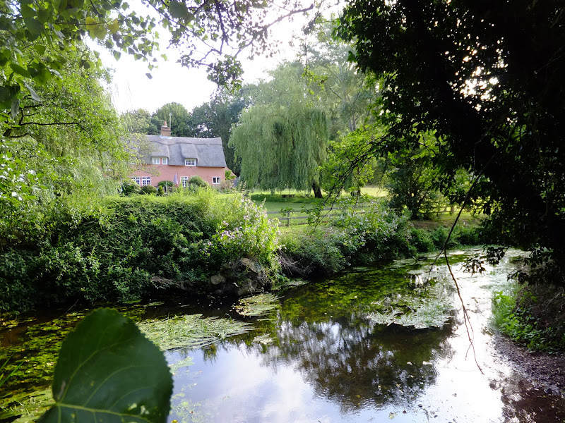
The fourth stage of a weeks walking along the Essex Coast between Manningtree and Maldon.
|
Thursday 19 December 2019
|
No comments |
![]()
A 17 mile walk along the Angles Way from Diss to Harleston and onto Wortwell
There is plenty of history along this section of the Angles Way as it follows the course of the River Waveney. Numerous archaeological finds have been found along the route dating from prehistoric times through roman pottery and remnants of the middle ages. There are lost villages, halls and churches to provide ample opportunity for exploration as the path meanders across the Norfolk Suffolk border.
|
Wednesday 18 December 2019
|
No comments |
![]()
A 6 mile walk taking in the Wiveton Downs as an alternative to the coastal route between Cley and Blakeney
An alternative route to the Norfolk Coast Path between Cley and Blakeney taking in the high ground across Wiveton Downs. Spectacular views of the coastline can be had from this area and the route also includes the Shell Museum at Glandford and the dominating church at Cley
|
|
No comments |
![]()
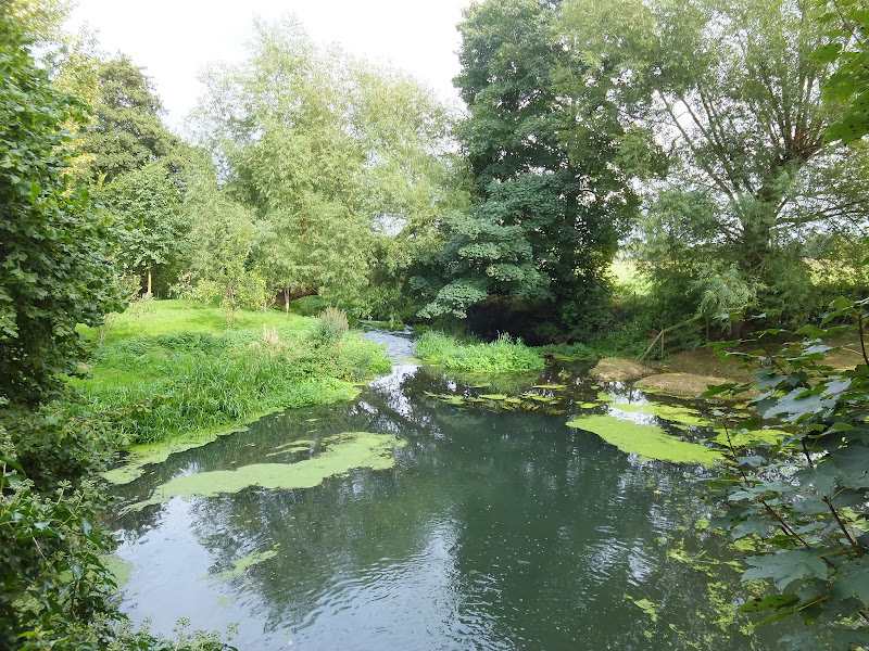
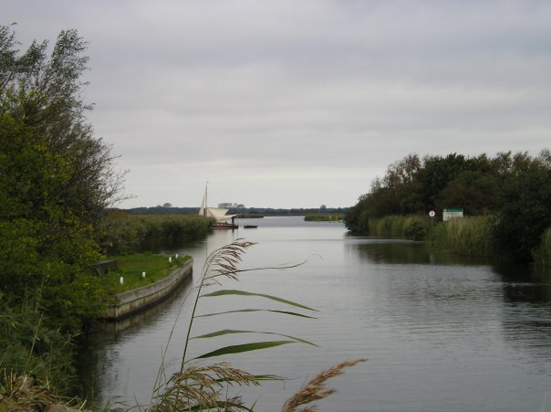
An 11 mile Walk along the River Stour incorporating sections of the Stour Valley Path, the Essex Way and St Edmund's Way
Flatford Mill is the idyllic English country scene encapsulated by John Constables renowned paintings including the instantly recognizable 'Haywain'. This circular route is an exceptional walk by all accounts and the perfect way to engross oneself in this landscape that sits on the Suffolk and Essex border.
|
|
No comments |
![]()
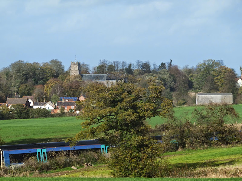
A 6 mile walk following the North Norfolk Coast Path between Burnham Overy Staithe to Brancaster
Wide open areas of marshland provide an enticing setting for this easy walk. Sailing boats, marsh, a tidal pool and the site of a Roman fort provide plenty of interest, together with three pubs, what more could one ask for of an afternoons stroll.
|
Friday 6 December 2019
|
No comments |
![]()

A 15 mile walk following the River Nar from its outlet to the River Ouse up to Narborough
The walk starts along the quayside at Kings Lynn with all its fascinating historic buildings. The path soon heads out into open countryside following the river across this open landscape. Big skies. Views for miles and little in the way of civilisation until Narborough is reached.
|
Friday 5 April 2019
|
No comments |
![]()
A 16 mile walk along the East Suffolk Line Path between Leiston and Wickham Market
Although the official route for the East Suffolk Line Path links the stations at Saxmundham and Campsea Ashe, this provides an alternative route using the local bus service to link the two ends. Highlights along the route include the picturesque Beversham Mill and the legendary Blaxhall Stone which is said to progressively grow in size.
|
Thursday 24 January 2019
|
1 comment |
![]()
A 4 mile walk between East Runton and Cromer searching out old folklore
Using country lanes and tracks, this circular trail navigates around a East Runton to visit the various locations in Runtons history and folklore. Woodhill House is the location of an unidentified skeleton found during road widening. Thains Lane has the village's old smithy. The old Windmill sets the scene for the emanation of ghostly lights that crossed over to a copse. With a pub stop at Cromer and return via the redefined course of the Norfolk Coast Path, this makes for an excellent short walk on a spooky Autumn evening.
|
Saturday 19 January 2019
|
No comments |
![]()
A 10 mile walk along the Lancashire Coastal Way from Freckleton to Lytham.
The Lancashire Coastal way is a 137 mile footpath following the coastline between Merseyside and Cumbria. The starting point is at the little village of Freckleton which lies midway between Preston and Lytham St Annes on the Ribble Estuary. This first section through to Lytham follows the estuary along the salt marshes and alongside the Warton airbase. Views can be seen across the estuary towards Southport and beyond are the hills of Wales. A fine days walk that takes one from river to coast.
|
Wednesday 9 January 2019
|
No comments |
![]()

An 18 mile circular walk using footpaths and bridleways through the attractive Norfolk countryside between Holt Country Park and the Mannington Estate.
This trail takes in woodland, open countryside, lanes and even a stream which one has to jump across to provide a variety of landscape. The majority of the route is clearly waymarked although the start in Holt country park lacks initial direction as does the section around the Mannington Estate. The only disappointment was the lack of pubs, the Hare and Hounds at Baconsthorpe having last closed its doors in 2010.
|
|
No comments |
![]()

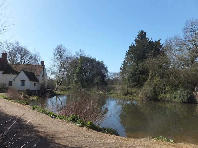
A 5.5 mile circular walk from Houghton to St Ives using the Ouse Valley Way
A simple and easy riverside walk following the course of the River Ouse. The walk uses the Ouse Valley Way to St Ives, returning via the picturesque Hemingford villages, full of thatched cottages and olde worlde charm. There's plenty of pubs, there's river locks, there's the iconic mill at Houghton which makes this a well worthwhile wander. Make a whole day of it and take in the sights and sounds and, of course, the quintessential English pubs.
|
Tuesday 1 January 2019
|
No comments |
![]()
A walk encompassing the Westwood Marshes footpath into a circular route from Leiston
The Westwood Marshes footpath is little gem of a path that links the Newdelight Walks with the Suffolk Coast Path through the Westwood marshes. The route for this walk uses this path as the ultimate destination from Leiston but shorter alternatives to include this path are also detailed.
|
Saturday 29 December 2018
|
1 comment |
![]()

A 22 mile walk along the Nar Valley Way from Narborough to Dereham
This route is full of historic features including ruins of priories and castles as well as magnificent halls and watermills. The walk provides a varied landscape with woodland trails, riverside paths and saunters across open fields of this pleasant Norfolk countryside. Although a lengthy section of the Nar Valley Way there is plenty of time to accomplish the feat with late buses linking the two ends.
|
|
No comments |
![]()
A 13 mile walk following Suffolk's River Gipping between Needham Market and Ipswich
A riverside walk tracing the route of the River Gipping as it heads through Suffolk to join the tidal waters of the Orwell at Ipswich. A gentle ambling route that twists and turns through the countryside which presents a perfect summers walk.
|
Friday 21 December 2018
|
No comments |
![]()
A 20 mile walk along the Weavers Way between Potter Heigham and North Walsham
The Weavers Way winds its way along the River Thurne and then up Candle Dyke to Hickling Broad. From here it cuts across country to Stalham where it picks up the old railway trackbed through to just south of North Walsham. It is a full days walk with plenty of refreshment stops en route and plenty to see and do along the way.
|
Monday 17 December 2018
|
No comments |
![]()
A 4 mile walk around Saxmundham, Kelsale and Carlton
Using footpaths an country lanes, this short walk provides some fine views, historic churches and even a ghostly tale of an apparition of phantom dancers. A worthy candidate for an afternoons exploration of this hidden corner of East Suffolk.
|
Saturday 15 December 2018
|
No comments |
![]()

A 13 mile circular walk along the Sandlings Walk between Knodishall and Snape
With limited public transport this walk offers a circular route to incorporate the Sandlings path from Knodishall to Snape. Starting and ending at nearby Leiston it incorporates The Sailors Path and the Suffolk Coast Path to make a worthwhile day walk. The route passes Friston mill and Hall and the burial grounds where a Saxon burial ship was discovered. With pubs at Friston and Snape it provides for a great days ramble.
|
Sunday 9 December 2018
|
2 comments |
![]()
An easy 5 mile walk following Suffolk's River Gipping between Stowmarket and Needham Market
The river Gipping forms the source to the mighty Orwell River. At Stowmarket it is no more than a babbling stream that winds its way through the Suffolk countryside. The path keeps to the riverside throughout with no difficult obstacles other than styles, making a pleasant stroll between these two places. With some fantastic pubs at either end it makes a good little pub crawl.
A 10 mile walk following the southern side of the parish boundary of Leiston in Suffolk This walk follows the route of a 17th century peramb...


